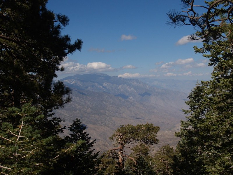
Hikin_Jim wrote:Thanks, Sose, and you're welcome. For whatever reason, I just like compiling all this kind of stuff. And I notice when a map is wrong. If I'm watching my map on a hike, and the trail does something different than what the map says, I usually know it. Map errors bug me, so I tend to record that kind of stuff.Sose wrote:Thanks for the solid info Jim! Excellent map work on your site. I especially like your trail corrections. Most topo maps are based on 1977 or earlier surveys and often not accurate due to overgrown unused trails, washouts and landslides changing routes, or being plotted incorrectly in the first place. Thanks for your service!
HJ
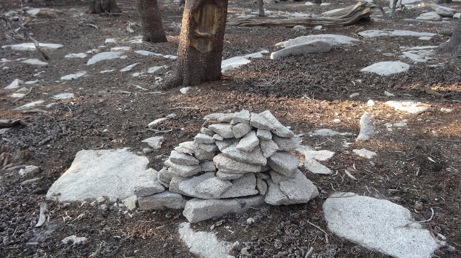
My dad was a cartographer and aerial surveyor in the military and when he retired in 1966, he continued that work as a civilian. In the early 70s, I worked for their company as a spotter (the kid who would do anything) finding old survey markers, marking them with a white tape X for the flyover( no paint allowed) and returning to retrieve the tape. Did some work in the western end of the San Gabriels and Palomar, Anza area for a government contract. I think 1977 was the last full scale boots on the ground survey. Some of the medallions were from 1927, a large amount 1939, and a few fron 1949 & 1957. They were not always where indicated on my map. Sometimes 500 feet down a rockslide or disappeared altogether.