OtherHand wrote:I agree, just not in the area we've all been looking at to date. I've always found it a little odd that in all the searching no one has ever found a trace of the three water bottles Bill was believed to have been carrying. He could have tossed the empties aside or left them on rocks as markers for others. It makes little sense to hold on to and carry empty bottles.....unless he was planning on refilling them. Bill knew about Smith Water. I think Bill had a plan (perhaps too clever a plan for his own good), since if he exhibited typical lost person behavior he would have been found long ago.
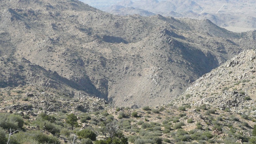
And somebody reaching the southerly slopes of Smith Water Canyon, severely dehydrated, almost certainly injured and with no hiking poles would be very unlikely to make it down. It is unforgiving terrain that can bring a quick end to things.
This rings very true for me. The lower, more accessible areas descending Quail Mountain have been searched pretty well. Lost or tired people tend to descend via gullies or washes, attracted by the "easier" downhill. ( Downhill, of course, is not easy. Not on the knees, anyway! ) Based on search results to date, Bill did not do this.
IF he had a plan, say, he wanted to hit Quail Mountain, continue northwest to Smith Water, which was on his itinerary, fill up there, and then return to his car in the evening via the relatively flat areas of either Quail Wash or Covington Flats ... well, then he very well could have been stymied by Smith Water's steep descent.
I can easily imagine coming up with a plan like that myself. It is why I don't go on these little trips by myself - I am almost guaranteed to come up with an overly ambitious plan since I'm always excited to see what is behind the next ridge, and I like a good challenge. If you want to entice me somewhere, show me a topo with wide, open expanses, and the explorer in me goes "I want to see what is out there!" I always make sure to take along an entity wiser ( and lazier! ) than myself, to keep me within my means and out of trouble.
Given Bill's late start, he may well have been covering ground fast to Smith Water. Perhaps being in a hurry makes you more likely to take a spill or twist an ankle. Or perhaps it just makes you more likely to think "Hmmm, that's steep, but doable, and I don't really have time to look for something better."
I would be most interested in the southern slopes of Smith Water, starting just northeast of the odor location, and continuing on towards Quail Wash from there. If he had a compass that he used to bear northwest to Smith Water, and he wasn't taking declination into account, wouldn't he have trended more west-north-west-ish instead? In Georgia, he may have been used to north being "a little bit to the right" of magnetic north. In Joshua Tree, north is "a little bit more to the left" of magnetic north. So if you trend a shade more east of a positive inclination, being used to trending a bit east of a negative inclination, you'd bend maybe ~15 degrees more easterly than you think you're going. ( I think. Good at math, I am not. )
Over the distance between Quail Mountain & Smith Water, this doesn't amount to anything very drastic, but it is a thought. It is an experiment that I would like to carry out on location, if I can get my ducks lined up right. It all depends on how successful my pending trip to Joshua Tree is in terms of containing interesting destinations & discoveries - the excitement of an unexpected desert discovery is more likely to lure my spouse back for another trip in February!

I have done my research well enough, I hope, that my trip will be interesting.
Now, if Bill isn't above or on Smith Water's southern slopes, I would become more interested in the area between Quail Mountain and Smith Water, since I'd speculate then that he got into trouble before reaching Smith Water, and is somewhere sheltered and hard to see.