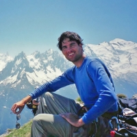
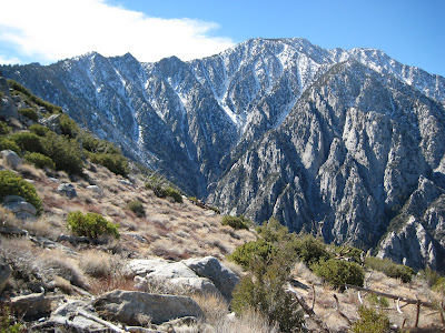
The views are some of the best on the whole mountain, I was pleasantly surprised at how clearly you can see all the chutes, couloirs and scrambles up the various canyons.
For those who know I would like to get some beta on the canyon that leads directly from the bottom tram station (it's above and to the right - north) upward and northward - not Chino. This other one has so many nice features and would allow a climber to get to the north ridge without being out in the sun all day - which this "Leatherneck" prefers


As a side note (just my opinion) if the problems with the BLM and Indian Tribe (s) becomes an obstacle too large to overcome I can see this becoming the new "Skykline" route - more direct, easier for people to see where they've been (safety for downclimbing to the tram station), a creek with water at the start, views of four great canyons, don't have to take a taxi back to the museum, and more. Not trying to create an issue for the State Park, Tram folks or piss off anyone that wants to keep this route to themselves, it just makes since to have a route that is safer, better views (in my opinion), on land that is controlled by folks that want to share it with the general public (isn't that what the state park is meant to be anyway). Just food for thought - it would be fairly easy to make a decent trail up that ridge with use


Lastly, thanks to Sam for asking me to join him on another cross country route that had all the mixed conditions that one hopes to find out there, thanks to both of my fellow "Leathernecks" for taking such great photos (Gumby forgot his camera

) and nice work making it to the tram when one of us was under the weather, all in all a great day.
Let's do some more of that soon


 by DaddyLongLegs » Wed Feb 16, 2011 12:31 am