
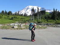
Mt. San Jacinto Outdoor Recreation
Hiking, Climbing, Camping, Trail Running, Snowshoeing...
Mt Shasta
29 posts
• Page 2 of 3 • 1, 2, 3
![]() by tinaballina » Wed Jan 13, 2010 10:53 am
by tinaballina » Wed Jan 13, 2010 10:53 am
cy-that is the direction i will end up heading....slowly but surely. see what you created..LOL
-
tinaballina - Posts: 1107
- Joined: Tue Jan 08, 2008 11:21 am
- Location: Riverside
![]() by Blooty » Wed Jan 13, 2010 3:22 pm
by Blooty » Wed Jan 13, 2010 3:22 pm
Tina,
those photos are so beautiful, thank you for sharing...the lenticular clouds are really awesome. I would like to do Shasta some time. V. envious!!
In the meantime...hope we're getting some fresh snow down here.
those photos are so beautiful, thank you for sharing...the lenticular clouds are really awesome. I would like to do Shasta some time. V. envious!!
In the meantime...hope we're getting some fresh snow down here.
-

Blooty - Posts: 125
- Joined: Wed Aug 06, 2008 1:03 pm
![]() by tinaballina » Wed Jan 13, 2010 3:31 pm
by tinaballina » Wed Jan 13, 2010 3:31 pm
Unfortunately, no, we didn't get that far. kinda realized that going into it that we wouldn't it was more about being with good friends and introducing myself to mt.shasta, this way when I go back she knows me and will have no problem letting me summit.
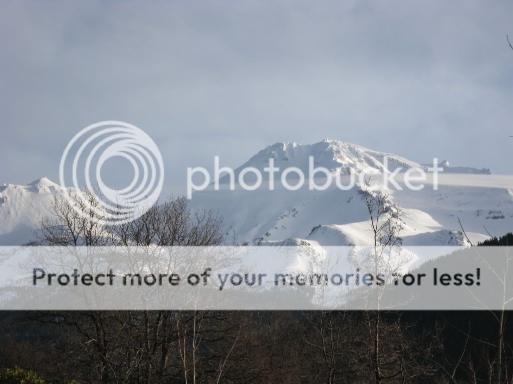
We got to about 2000+ feet and the guys I were with decided we should turn around. The weather was calm when we started-I think it was around 32'-30'degrees but no wind, this was at 145-2am. We headed up bunny flats, I think I had every article of clothing I brought, actually started to heat up pretty bad. Stuck it out until we hit the sierra hut (which is really cool inside), went inside, decompressed a bit and reloaded for the next round. There were a couple of tents outside the sierra hut, I think I woke them up (me quiet never). We then proceeded to head up avalanche gulch route. It started off steep and kept getting steeper (which we love but not while post holing) there was no trail so we were breaking it. At the same time we couldn't see more than a foot in front of us, wasn't sure if we were going over a ridge, ledge or what. We passed the tree line level and were now post holing down to rocks. The ranger had informed us earlier that we would not need snow shoes so we started from the car in crampons. The crampons were needed from the car to the hut but I think above the hut snow shoes would have been best. Lance, who knows this better than me said it fell in between the two and neither was really best. We continued up this steep ridge a bit more and the wind picked up, snow flurries which the wind was picking up the snow and that started to fly around. Started to get really cold and I had a lot of layers on. We all stopped and decided it was best to turn around because we could not see or predict the weather over the next ten hours and the post holing wasn't getting any better, it was getting worse. It was really hard for me to turn around at that point but Lance and Val (the two people I went up with) knew best as they have the experience behind them and I am just learning. Later that morning that picture was taken of the tornado looking lenticular - which I know I would not have wanted to be a part of and we would have if we hadn't turned back. The biggest thing I learned about this adventure was each mountain has its own weather system and you could be screwed at any point. The more respect you have for knowing this the better climber you become. the next day we ended up doing Black Butte, steep little mountain that was a good little work out, with a lot of snow on it as well.
I can't wait to go back!
Wow, I think this is my first TR, not the best but I am sticking to it.
-
tinaballina - Posts: 1107
- Joined: Tue Jan 08, 2008 11:21 am
- Location: Riverside
![]() by NormaR » Wed Jan 13, 2010 7:39 pm
by NormaR » Wed Jan 13, 2010 7:39 pm
Tina,
Your attitude made for a great winter alpine experience! Post-holing sucks and kept me and Dave from summitng Mt. Sill last June. (We nailed it in August when conditions were better!) The additional hiking time due to post-holing has thwarted many expeditions i'm sure. As you already know, the mountain will always be there and this trip was a good recon hike in preparation for your next visit. May is prime time for climbing Mt. Shasta and maybe we can plan our trips together then.
Thanx for the TR. Good job!
-
NormaR - Posts: 216
- Joined: Thu Dec 13, 2007 5:22 pm
- Location: Ventura County, CA

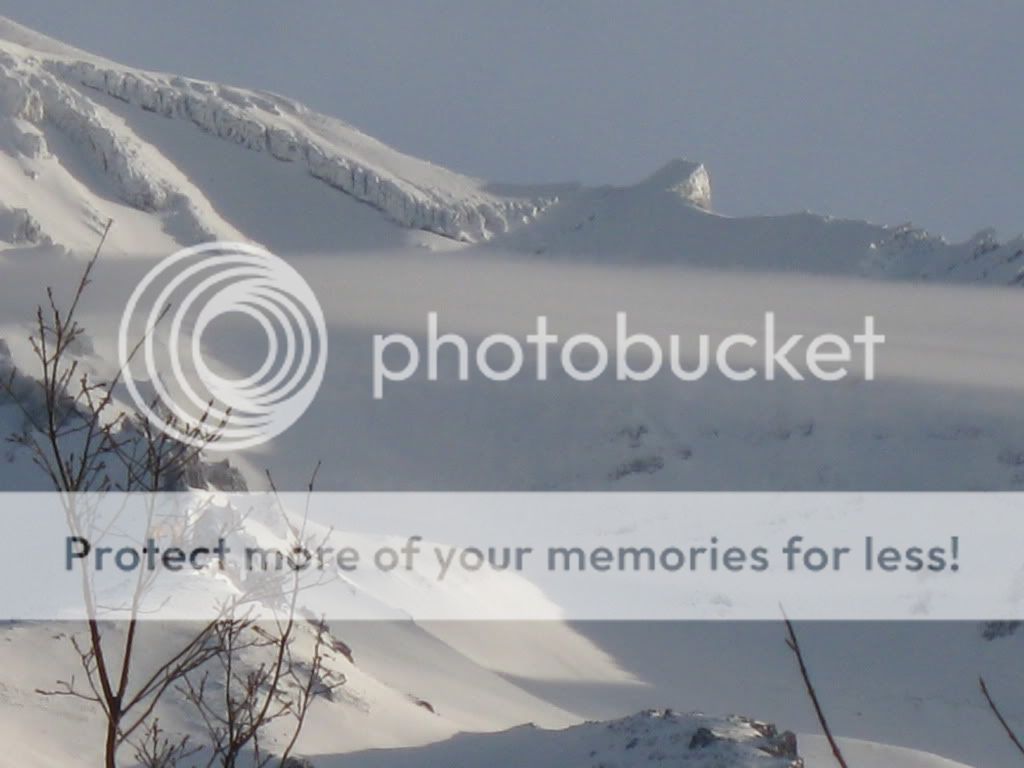
![]() by tinaballina » Thu Jan 14, 2010 10:06 am
by tinaballina » Thu Jan 14, 2010 10:06 am
Sally, some people believe that the lenticular's that hover over shasta actually hide the ufo's dropping into the mountain. i am sure ET would love that mountain for a landing spot.
Norma, thank you. i plan to go in mid may, i will keep you posted. hoping to go before as well.
kevin, we fell short of helen lake.
here are some cool pics of a jet stream that was forming around the mountain:
Norma, thank you. i plan to go in mid may, i will keep you posted. hoping to go before as well.
kevin, we fell short of helen lake.
here are some cool pics of a jet stream that was forming around the mountain:
-
tinaballina - Posts: 1107
- Joined: Tue Jan 08, 2008 11:21 am
- Location: Riverside
![]() by kevin trieu » Thu Jan 14, 2010 1:01 pm
by kevin trieu » Thu Jan 14, 2010 1:01 pm
It is fun to see others out there enjoying the mountains in the winter.
If I could offer some advice about winter mountaineering. I sometimes take bearing points to navigate because I don't have a gps. This helps with certain peaks that doesn't have too many features and it gets you to go in the right general direction. And obviously it helps when you have low visibility. When on glaciated peaks, it can get a bit tricky as you can't tell whether you are on snow or stepping off into nothing and into a crevasse.
At certain elevation on the mountains, sometimes you have a cloud layer that makes you think the whole mountain is socked in but when you break through and get higher, there's sunshine again.
You don't have to go that far to get the winter experience. Just climb in the Sierra. You will get the whole mountain to yourself. Hood & Shasta in May will be extremely crowded. In May you can count on a train of headlights going up both peaks. At that point navigation won't be a problem.
Have fun on the mountains.
- kevin trieu
- Posts: 51
- Joined: Fri Jun 22, 2007 2:07 pm
- Location: santa monica
29 posts
• Page 2 of 3 • 1, 2, 3
Return to Outdoors-Related Topics
Who is online
Users browsing this forum: No registered users and 2 guests