ROUTE MAP
Here is a map of our route
Note: I used the "terrain" mode to map out our route. I notice that when switching to topo mode, the marked points no longer correspond to the correct location, particularly in the area of Columbine Lake. The error is even worse in when switching to satellite mode. This is a defect in Acme Mapper/Terraserver and unfortunately cannot be corrected by the viewer.
Photo highlights: http://picasaweb.google.com/hikin.jim/M ... 6013703954
Full photo album: http://picasaweb.google.com/hikin.jim/M ... 9004601698
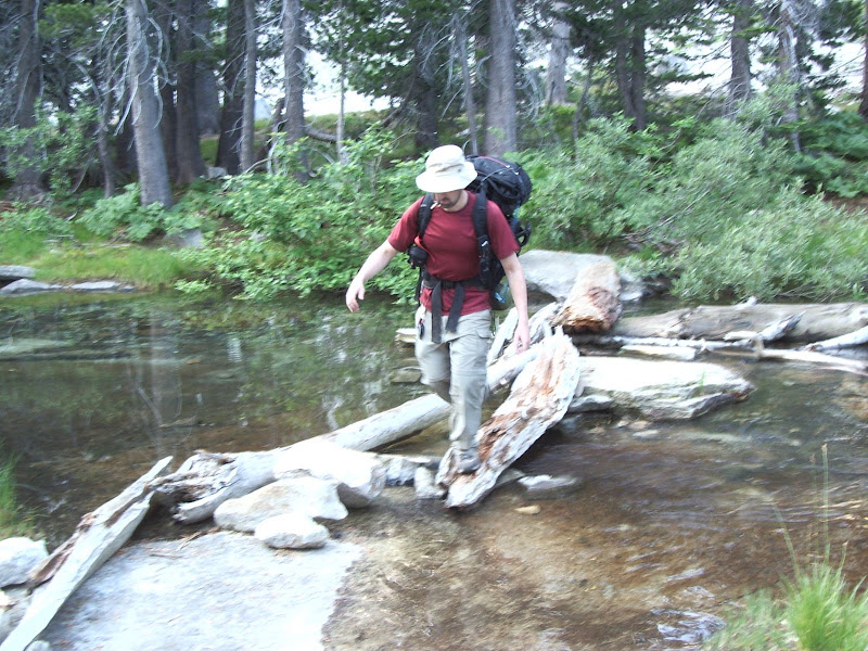
Day three saw us on the long climb out of the Hamilton Lakes area. First of course, one has to cross the outlet stream:
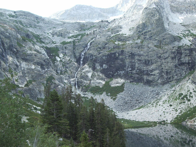
As we climb, we get a little bit better look at the falls at the east end of the lake:
We are nothing short of awed as we take in the various granite carvings the glaciers left in their wake:
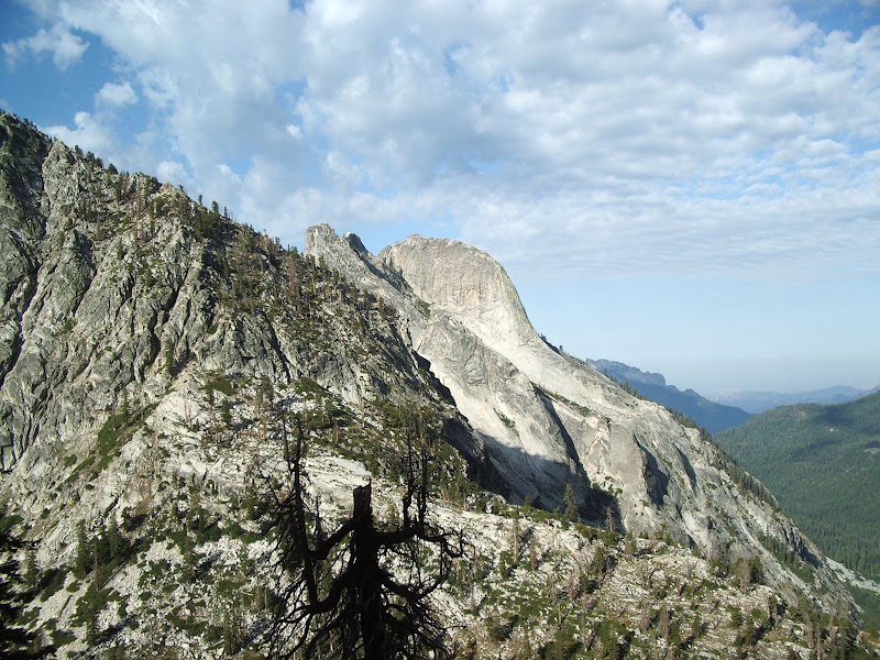
And of the majestic beauty of the area:
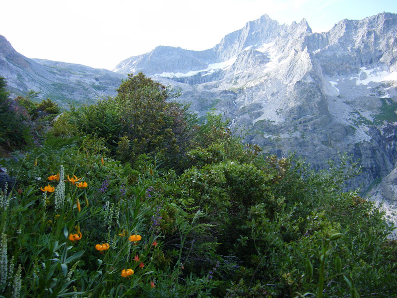
We quickly climb well above Hamilton Lake, site of last night's camp:
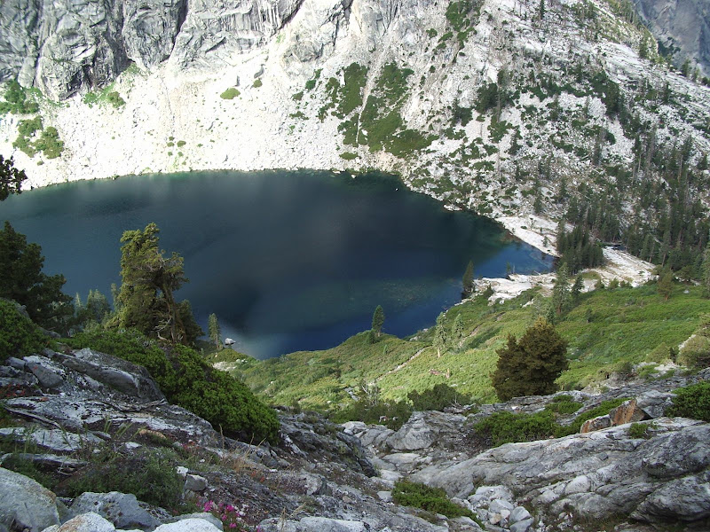
Looking down canyon from our high vantage point, we see the lower lake of Hamilton Lakes:
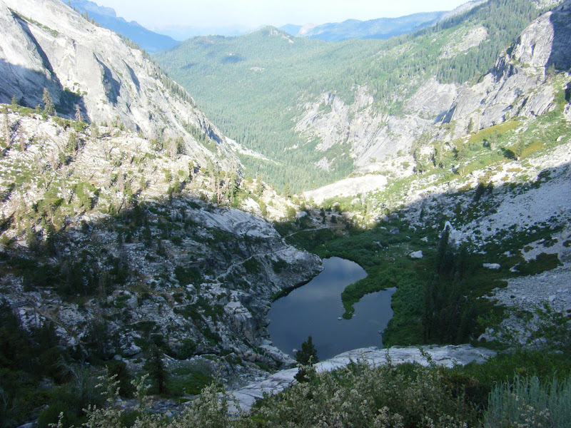
Now, when I say "they blasted the trail right out of the rock," I mean that in the most literal sense:
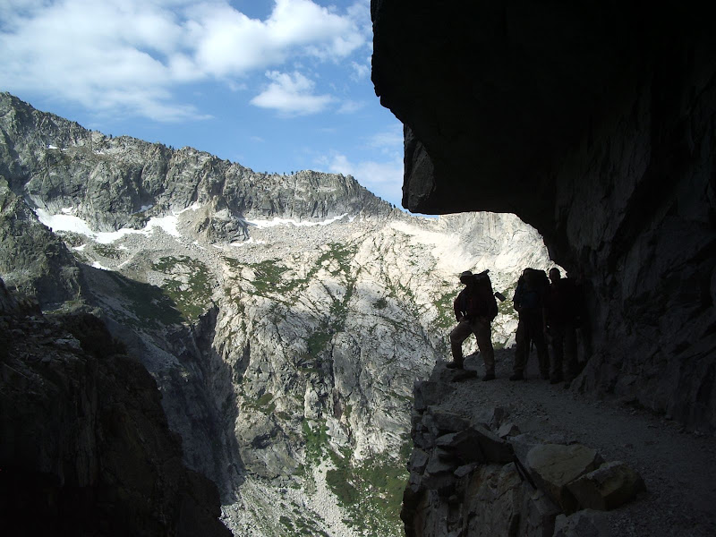
Note just how steep the trail is immediately beyond my right foot.
As we continued to climb, we encountered many small side streams, such as this one that flows over a small falls and across the trail:
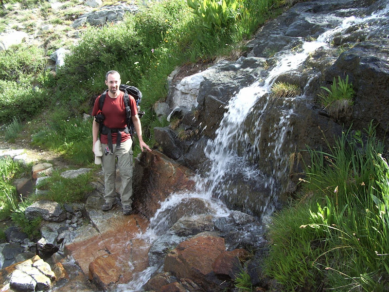
We drank straight from the falls with our sierra cups. Despite all the hysteria about giardia, studies have shown that the water in the Sierra Nevada has less giardia than the water that comes out of the tap at home. At altitudes above 10,000', the water is particularly clean. The harsh winters at high altitude kill all giardia. Someone would have to climb up into each area and re-infect the waters every year in order for there to be giardia. Drinking straight out of the stream is SO much more convenient than filtering
 and the taste can't be beat -- no chemicals.
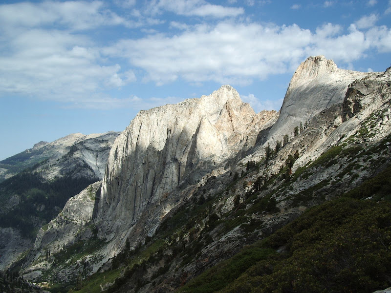
As we climb, we see ever more of the massive granite formations, this time in their entireity whereas before we could only glimpse but sections from below:
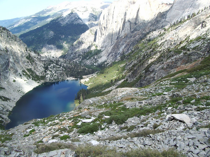
The trail climbs quickly and high. Soon Hamilton Lake is far behind and below us.
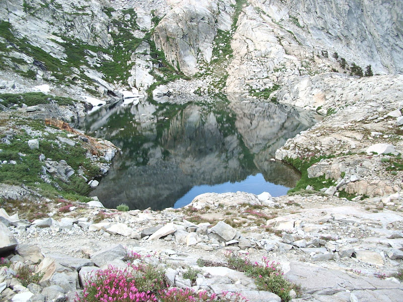
As we continue to climb we encounter this small lake (or tarn) which mirrors its surroundings so perfectly that it's almost hard to spot:
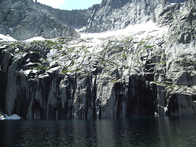
Soon, we encounter frigid Precipice Lake which is fed by melt water from the glaciers shown above the lake in the photo. Yes, I said glaciers.
Climbing above Precipice Lake, we enter true alpine country. Here we come across the first in a series of small high-altitude glacial tarns:
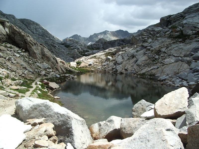
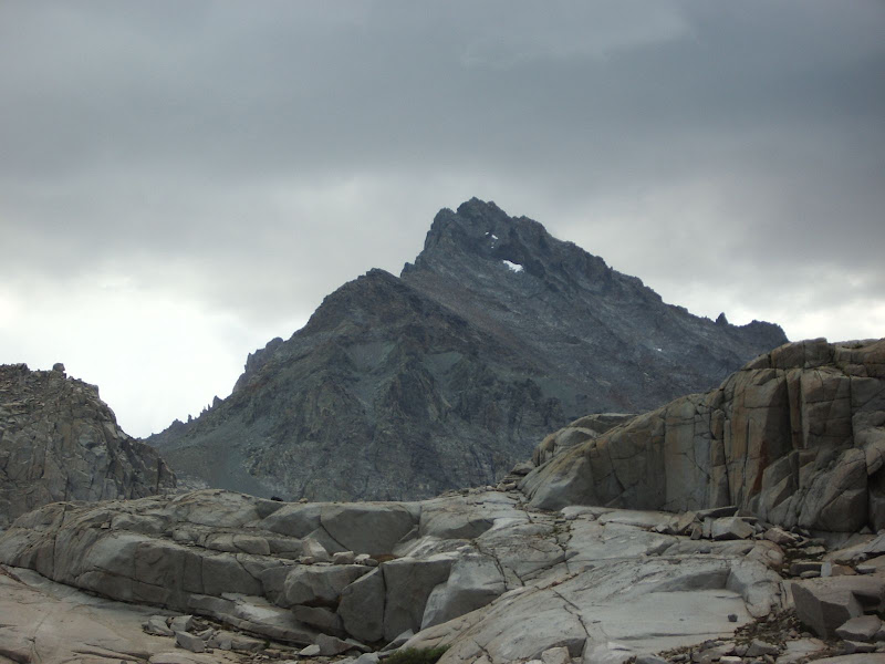
As we climb higher still, we can see our objective for this segment of the trip, 10,689 foot (3258 m) Kaweah Gap, with infamous Black Kaweah looming forebodingly above it:
Summiting the gap, we look beyond into the trackless, untamed high country of Nine Lakes Basin:
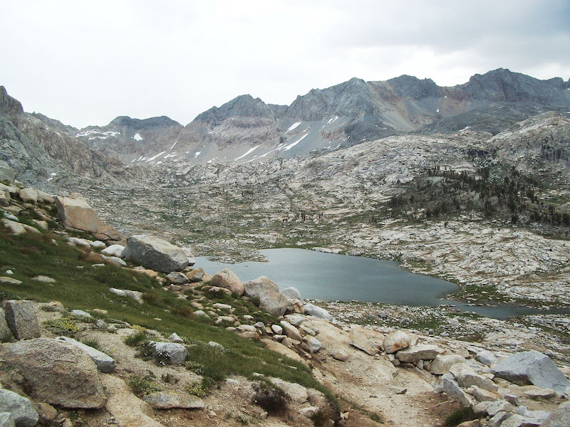
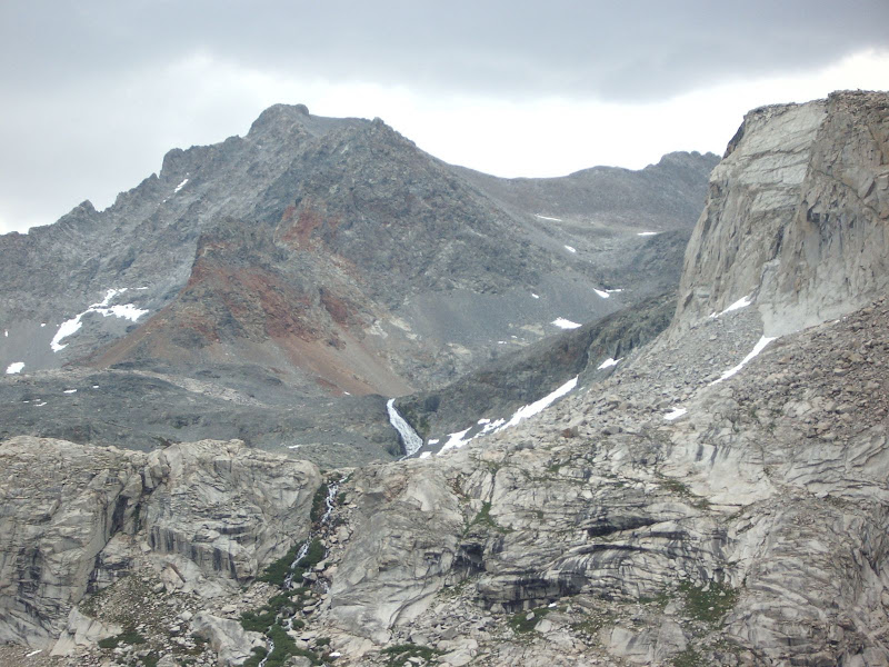
Turning back and looking the way we came, we see the sere, rugged country through which we've just travelled:
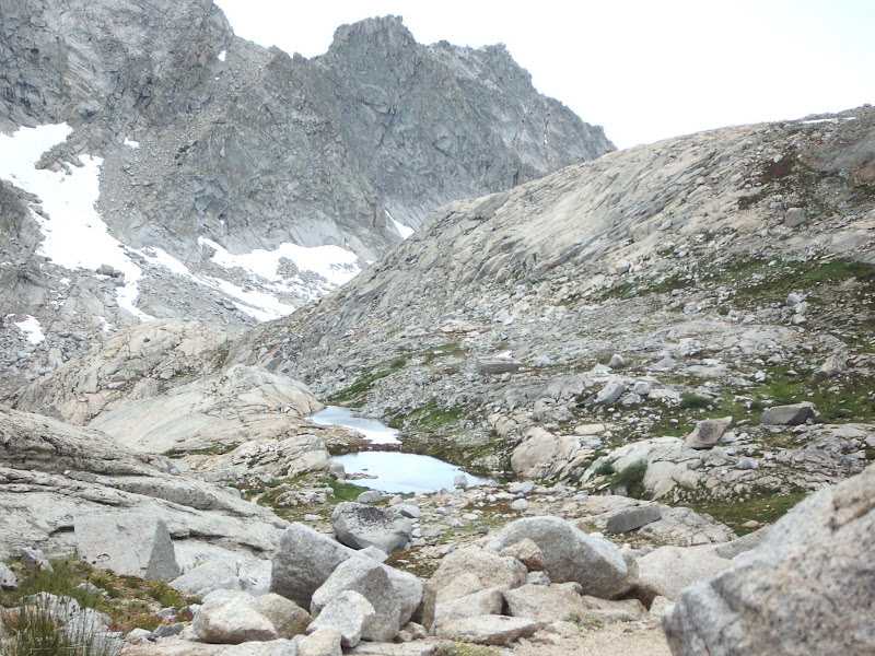
Turning south, we look from Kaweah Gap down the length of Big Arroyo through which we are now about to travel:
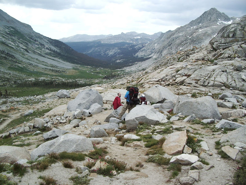
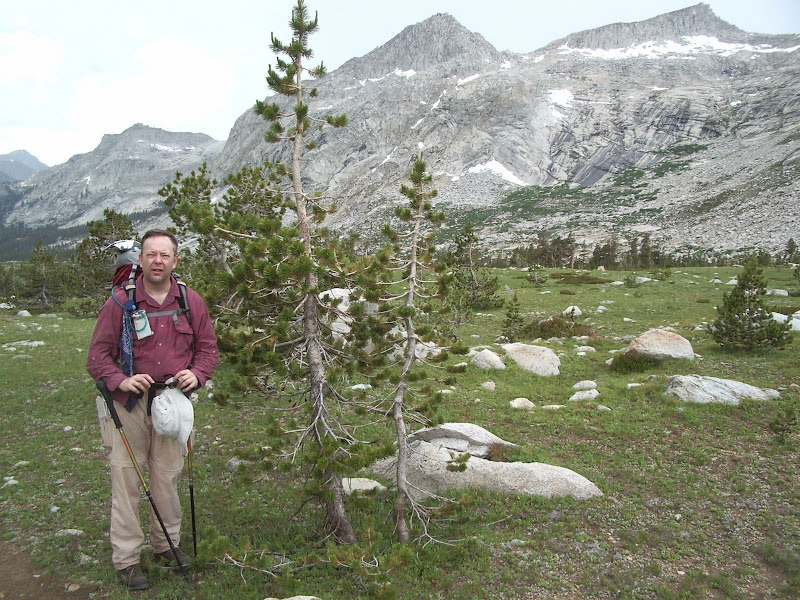
Upper Big Arroyo is an open, high altitude region with the hardy yet stunted and scraggly pines so characteristic of such alpine country:
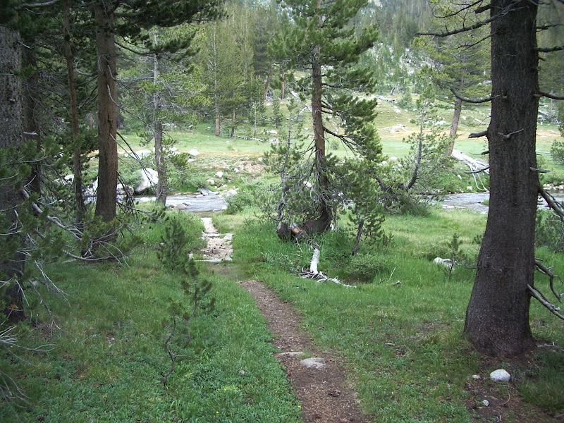
As we descend Big Arroyo, the creek contained therein grows to a sizeable stream:
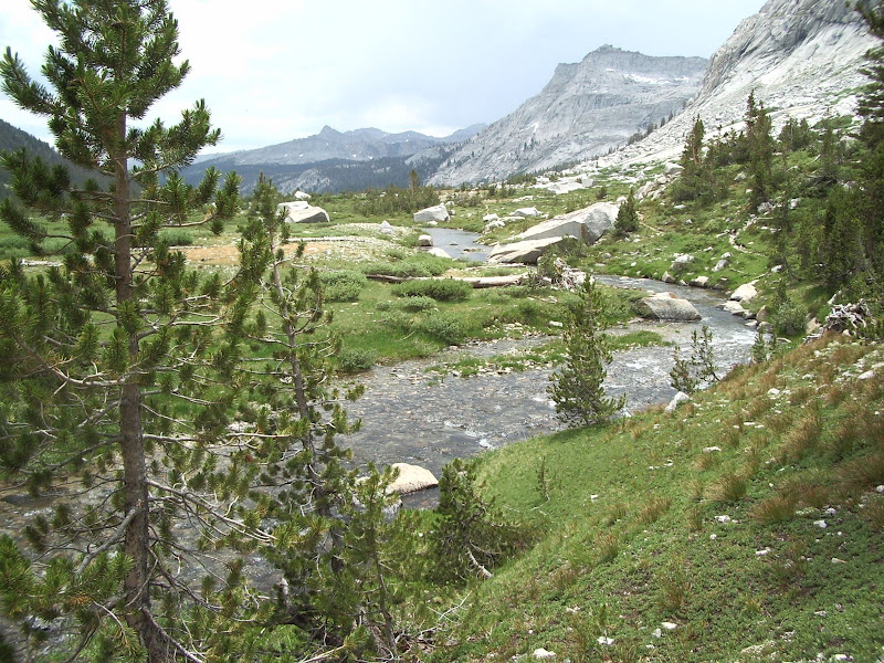
A stream that we shall have to cross!
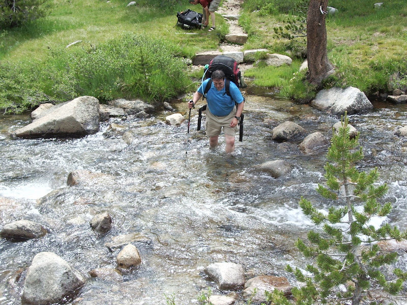
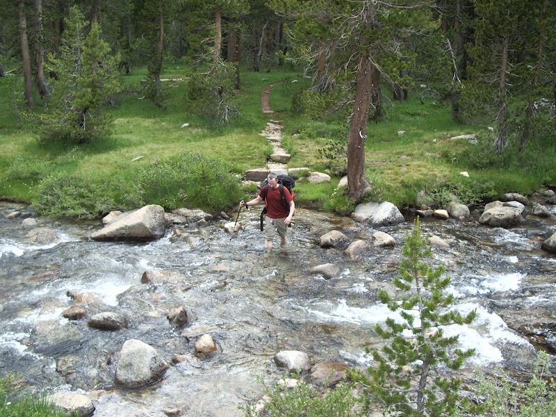
I was actually able to find a dry crossing upstream -- which greatly facilitated my getting these shots of my friends crossing. However, I begrudge no one the time needed to ford a stream. Yes, it's a pain to take off one's shoes, cross, dry off, and put one's shoes on, but far better a deliberate wet crossing than an inadvertant one! (if you know what I mean)
Travelling down Big Arroyo, we come to the old Patrol Cabin:
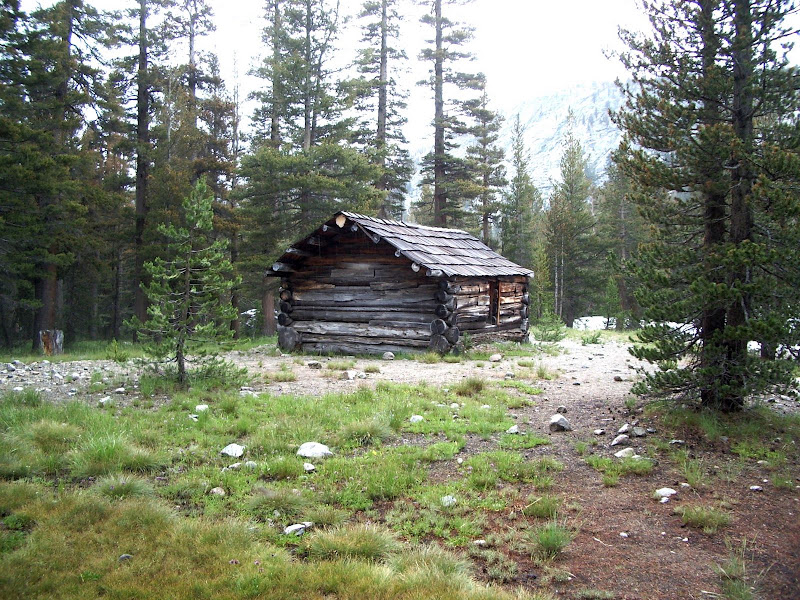
Here, we leave the HST and make the steep but mercifully short climb out of Big Arroyo to Little Five Lakes. Entering Little Five Lakes:
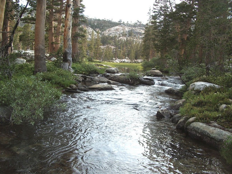
First Lake, back dropped by the seemingly unclimable Kaweah Divide:
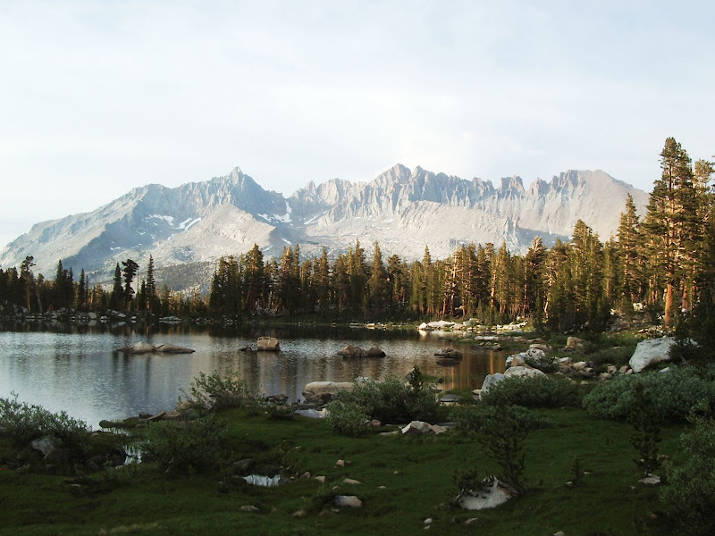
Second Lake:
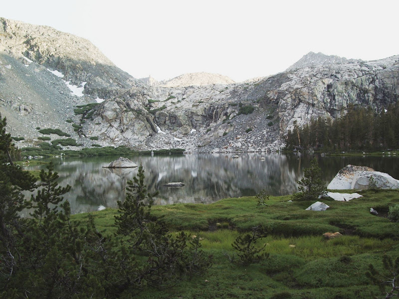
And then finally, the uppermost of the large lakes in the main drainage of Little Five Lakes, our stop for the night:
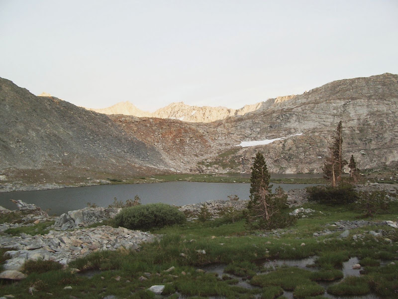
Here, we set up camp on a small bench:
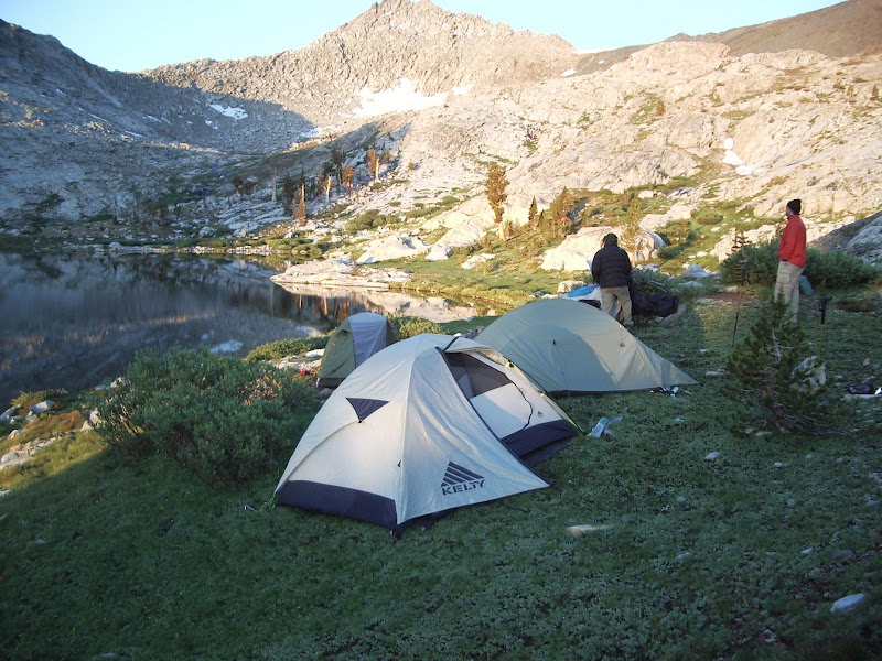
Lake two is the more popular lake to camp at; indeed, one person commented, when we told them that we were going to a lake further up, that they didn't even know there was another lake up there. Despite Little Five Lakes reputation as being a popular destination, we saw no one at the uppermost lake and had the whole place to ourselves.
Here's a shot of the uppermost large lake in Little Five Lakes that we took the next day:
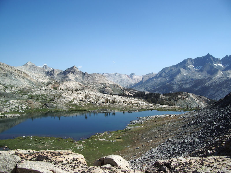
It's really a lovely alpine spot. Note: The campsites are small and scattered, and the ground is rocky and hard. The best sites are on the NE shore of the lake near and among the pine trees that you can see in the photo.
To be continued with Day Four...




 I wonder if your pictures encouraged Ellen to go up there.