We selected Mineral King in Sequoia National Park as our area of choice.
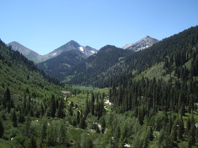
We decided to do a five day, fifty mile loop that would take us through a variety of scenery, dlimate zones, and conditions. Such a loop would expose us to a broad cross section of the area and give us a real feel for the backcountry in this region.
ROUTE MAP
Here is a map of our route
Note: I used the "terrain" mode to map out our route. I notice that when switching to topo mode, the marked points no longer correspond to the correct location, particularly in the area of Columbine Lake. The error is even worse in when switching to satellite mode. This is a defect in Acme Mapper/Terraserver and unfortunately cannot be corrected by the viewer.
Photo highlights: http://picasaweb.google.com/hikin.jim/M ... 6013703954
Full photo album: http://picasaweb.google.com/hikin.jim/M ... 9004601698
DESCRIPTION OF ROUTE
After a five hour drive from the San Fernando Valley area of Los Angeles, we arrived in Mineral King. It should be noted that the last 24 miles are on an old, narrow, winding mountain road, portions of which are poorly paved, other portions of which aren't paved at all. The going is very slow. Also of note is the entrance station which is no longer manned. Instead of a ranger, there is an automated pay station whose screen is particularly difficult to read in the morning sun. It charged me $60.00 (the correct entrance fee is $20.00) and did not issue me a receipt. When I eventually got to the Mineral King station, the rangers were kind enough to give me a window tag so that I didn't get a ticket, but the overcharge is as yet unresolved.

After getting our bear canisters and receiving the required briefing (you're supposed to pack out your TP now
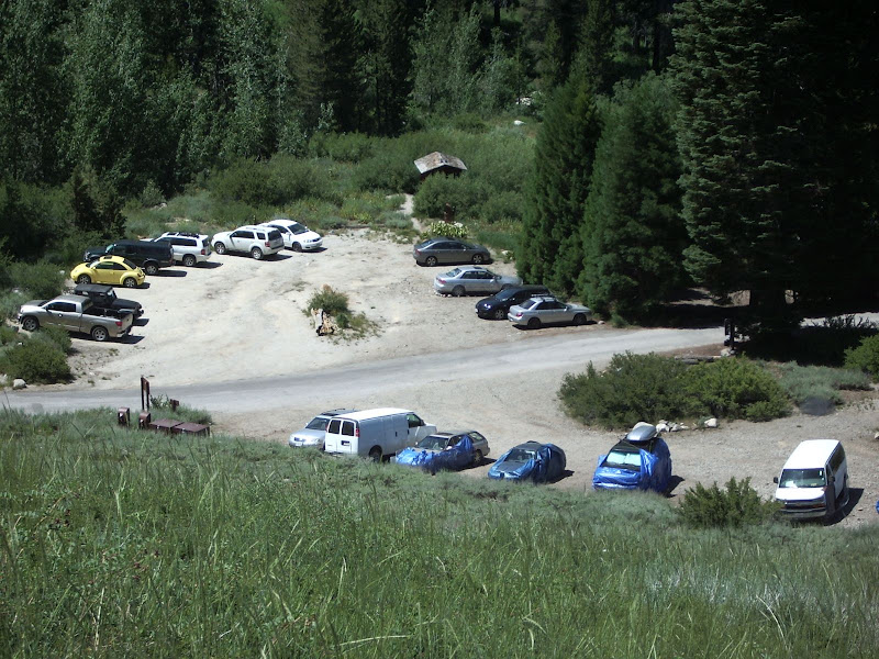
 ), we were off. Marmots are apparently a real problem at the trail head. They like to get at the minerals in your car's engine and in so doing they may chew through radiator hoses. Not good. Forewarned, we bought chicken wire at Home Depot prior to our trip and built an impromptu fence around our car at the trailhead (Point "A" on the above linked map). We saw that many others had done the same. Cars trussed up in chicken wire and tarps were a rather bizarre sight to say the least.
  We quickly climbed away from the trailhead (note the cars wrapped up with tarps and such)...
...and came to the fork in the trail (Point "B").
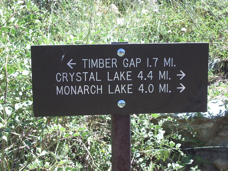
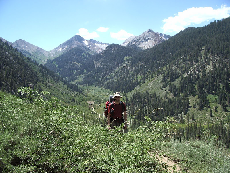
Here at the junction the loop both starts and ends. We will do the route in a clockwise fashion in order to facilitate acclimitization to the altitude (see also "General Comments on Route" below). From the junction we climbed to Timber Gap (Point "C"). Here's a view from the trail en route to Timber Gap. That's my friend, Adam, in the photo.
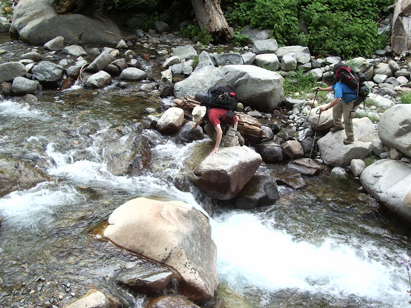
From Timber Gap, we headed down to Cliff Creek and the junction (point "D") with the trail to Black Rock Pass. Cliff Creek was a bit of a challenge to cross. The "crux" was to leap from one large rock over the main force of the water to a higher, steep faced rock on the other side of the flow. I found it doable, although if one were to mistep, one would wind up in the pool below thoroughly drenched. If one were uncomfortable making the leap, then one could simply remove one's shoes and wade across safely perhaps 15' upstream.
From the junction we headed toward our first night's camp. En route, we encountered our first Giant Sequoia in the wild, the namesake of Sequoia National Park.
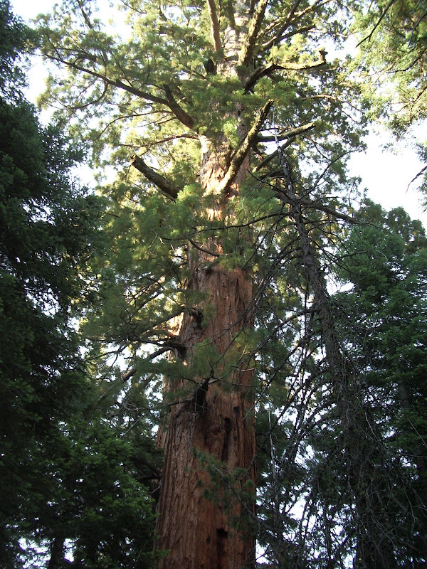
As many times as I've seen Giant Sequoias, I'm still awed by their sheer size and stately beauty. Giant Sequoias are also referred to as "Redwoods" or "Giant Redwoods." One should take care not to confuse Coast Redwoods (sequoia sempervirens) with Giant Redwoods (sequoiadendron giganteum). Regrettably, photos simply cannot do the Sequoias justice. If one visits California and has not visited a Giant Sequoia grove, one owes it to oneself so to do. The natural beauty of the Sierra Nevada mountain regions with their inherent dignity outshine all the tawdriness in "Tinseltown" (i.e. Hollywood) and our celebrity obsessed culture. From this encounter, we proceeded to aptly named Redwood Meadow (Point "E") and our campsite (Point "F") 0.2 miles further.
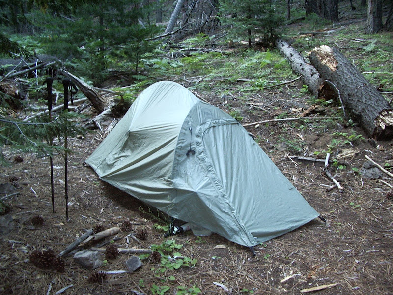
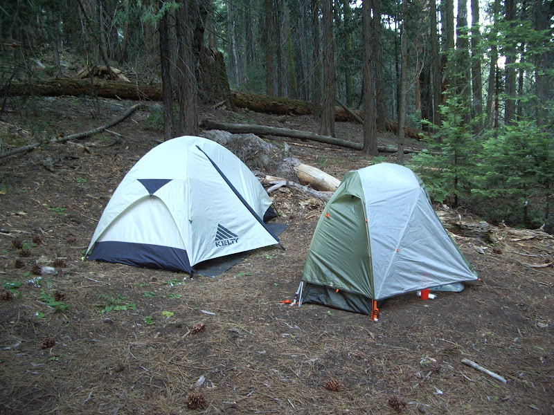
This was a rather deluxe set up with piped in water and a latrine (for those who haven't been in the backcounty much, this is deluxe I assure you).
The night passed uneventfully -- uneventfully, that is, until the early hours of the morning. We had stored our food in two bear canisters (impervious to bears) and one UrSack (bear resistant but not impervious). Now an UrSack is lighter and less bulky than a canister, but it will generally only slow a bear down. One must scare the bear off quickly if one wishes to preserve one's food. In the early hours of the morning (pre-dawn), I heard loud scratching noises, the kind made by claws on a hard synthetic material, hard synthetic material like that of my UrSack! I yelled "hey!" at the top of my lungs (for those of you who aren't aquainted with my voice, I'm particularly loud) and heard something large run away, crashing through the brush. I dashed out of my tent but whatever it was, it was gone. I don't truly know what I scared off, but I surmise that it was a bear based on the loudness of the scratching sound and the large size (based on the sounds of it crashing through the brush) of the creature. I was rather lucky inasmuch as most Sierra bears are not so easily rid of. I think my saving grace may have been that Redwood Meadow is a relatively infrequently visited spot and that the bears there may not be quite as accustomed to humans.
so ends day one and unfortunately so also the time I have in which to write. More to follow...
GENERAL COMMENTS ON ROUTE
One of the great advantages of this particular loop (besides the fact that it exposes one to a relatively broad cross section of the backcountry) is that it allows one to acclimatize to the altitude progressively. On our first day we camped at about 6000'. It is usually a good idea to spend one's first night at less than 8000' to avoid altitude sickness. Our next day took us up to 8200' for our camp (2200' increment) The third day we camped at 10,700' (2500' increment). Our fourth camp was at 11,000' (only 300' increment). At no time did anyone on the trip experience the headaches and general malaise I associate with altitude sickness. We definitely felt the restrictions on our aerobic capacity, particularly when climbing the steep trail to Sawtooth Pass (11,600'), but no one suffered from altitude sickness per se. There is nothing like altitude sickness to ruin a trip, so in this respect I felt the selection of our particular route was a good one.
To be continued...

 Seriously, I've always buried it with the poop. It's hard for me to imagine the paper not breaking down relatively quickly; is this not the case? Unfortunately, because of the over-protective, over-regulating nature of the government, I can't trust what they say. For example they