Here are some highlights. Clicking on any of the photos will bring you to the full gallery.
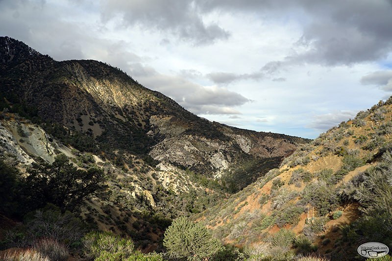
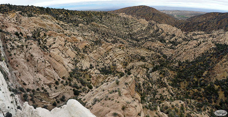
Devil’s Chair via South Fork/Big Rock Creek
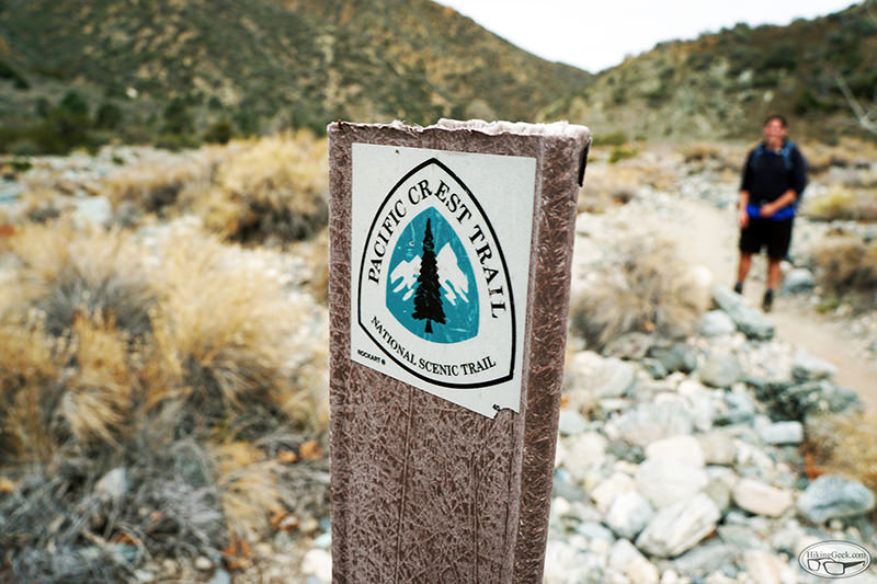

Hiking, Climbing, Camping, Trail Running, Snowshoeing...
![]() by 63ChevyII » Tue May 17, 2016 3:10 am
by 63ChevyII » Tue May 17, 2016 3:10 am
![]() by Hikin_Jim » Tue May 17, 2016 8:31 am
by Hikin_Jim » Tue May 17, 2016 8:31 am

![]() by 63ChevyII » Tue May 24, 2016 6:29 pm
by 63ChevyII » Tue May 24, 2016 6:29 pm
Return to Outdoors-Related Topics
Users browsing this forum: No registered users and 100 guests