Yeah, hopefully I'm not biting off more than I can chew. I don't want to be in such a rush that I don't have time to investigate things. I've also considered just coming in from Lower Covington, taking the CR&HT to the Sierra Club HPS Route 3 jump off point, ascending Quail via HPS#3, and then going to Smith Water. Juniper Flats just gives me a place where I can spend the night in the backcountry. Dunno where I'd spend my first night if I go out of Lower Covington. Never been up La Contenta before.OtherHand wrote:That's a pretty substantial hike and I salute you. Or feel sorry, one or the other.
OtherHand wrote:Bring lots of water. I was out poking around Covington Flats yesterday and it was hot. Also, I don't know if you were thinking of getting water at Smith Water, but if you were be advised the water is roughly in the middle of the canyon, just westerly of the odor location. It would be a hard detour and uphill in sand on the way out. And it's not great water, but it IS water.
It's a long way along the ridge to Smith Water, but you can bail out anytime you want to the west to the trail below.
I've read multiple trip reports about Smith Water. I think I know where there will be water. In this satellite photo, I've identified several points:
A - Some interesting rocks with quartz veins. These are frequently seen in photos of Smith Water that I've come across.
B - An area of greenery. I think water can be found here
C - The falls/dry fall area based on what I can see
D - Vicinity of suspicious odor
Your comment that the water is westerly of the odor seems to corroborate my suspicion of where the water is.
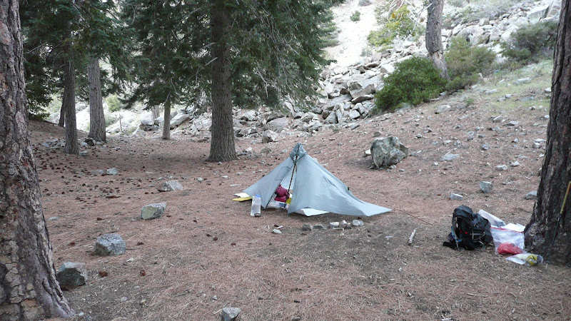
When you say "not great water" do you mean quantity? Quality? As long as I can get a little sierra cup in it, I can scoop and then filter it through a bandana, so hopefully I'll be all right. I am considering carrying 6 to 8 liters to start. 8 liters is of course 16+ pounds. That should be "fun."
Thanks for the reminder of a bail out to the CR&HT to the west. The weather is supposed to improve on Friday. We'll see.
I'm interested in what can be seen of Smith Water from above, particularly well in advance. If that greenery can be seen from above from some distance, it may have influenced Bill's putative route. Dunno. I'm probably just going out for a walk, but who knows?
I'll report back hopefully on Monday.OtherHand wrote:Fresh eyes on a scene are always good. I'll be interested to hear your impressions.
HJ