I think the 2006 Schad map shows a slightly different alignment of the Tenaja Falls trail than CNF does. IIRC from looking last nite, on the North end of the inholding it skirts west towards the other trails, rather than going more North to Morgan.
Also, those CNF maps seem to be missing a couple of things right off the top of my head. The Upper Holy Jim Trail is not there, and saw it and signs for it last Sunday near Bear Spring.
I also saw a well established though not signed trail from Four Corners (not named on the CNF map - it's where Harding hits Main Divide) over to Modjeska and then on to Main Divide near Joplin. I didn't catch Joplin, so it might be the same spot.
Also missing is the Forest Service Road out to Margarita Lookout. It's been an awful long time since I've been there.
I wonder if these kinds of omissions are on purpose, like to dissuade people from going there. Or, if these maps are just to show the most popular places.

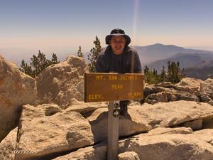
Mt. San Jacinto Outdoor Recreation
Hiking, Climbing, Camping, Trail Running, Snowshoeing...
Starting 2010 on a low point - Sitton Peak
13 posts
• Page 2 of 2 • 1, 2
![]() by Sally » Thu Jan 07, 2010 9:10 pm
by Sally » Thu Jan 07, 2010 9:10 pm
Thank you phydeux for directing me to the Cleveland Nat'l Forest website. I printed the freebie maps, and then I went to their online store and bought their map of both the Agua Tibia and San Mateo Wilderness.They didn't indicate what scale it is but for 9 bucks it better be good. I'll let you guys know if it was worth it when it comes.
-

Sally - Posts: 1125
- Joined: Thu Sep 17, 2009 8:27 pm
- Location: Temecula
![]() by Sally » Mon Jan 11, 2010 9:03 pm
by Sally » Mon Jan 11, 2010 9:03 pm
The map came in the mail today. It's a very nice waterproof topo and it's BIG (Agua Tibia on one side and San Mateo on the other side). It has a little too much space devoted to visitor info, but other than that it is well worth the $9 + $1 internet fee.
-
Sally - Posts: 1125
- Joined: Thu Sep 17, 2009 8:27 pm
- Location: Temecula
13 posts
• Page 2 of 2 • 1, 2
Return to Outdoors-Related Topics
Who is online
Users browsing this forum: No registered users and 4 guests