ROUTE MAP
Here is a map of our route
Note: I used the "terrain" mode to map out our route. I notice that when switching to topo mode, the marked points no longer correspond to the correct location, particularly in the area of Columbine Lake. The error is even worse in when switching to satellite mode. This is a defect in Acme Mapper/Terraserver and unfortunately cannot be corrected by the viewer.
Photo highlights: http://picasaweb.google.com/hikin.jim/M ... 6013703954
Full photo album: http://picasaweb.google.com/hikin.jim/M ... 9004601698
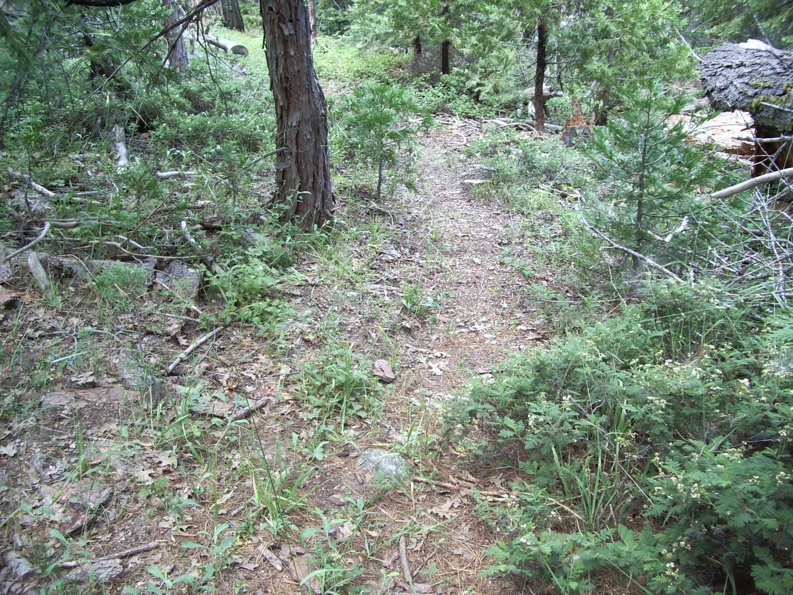
Day two of our five day hike took us from Redwood Meadow. The first trick is to find the correct trail out of Redwood Meadow. The trails in Redwood Meadow, despite it's beauty, are lesser used. A section of trail in the area:
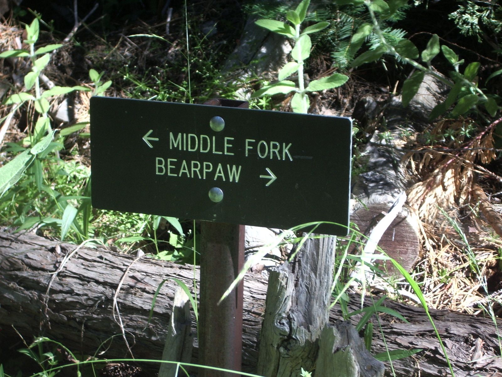
The sign marking the junction just past the trail camp is a bit obscured by encroaching brush. Just knowing what to look for can be helpful:
Our route takes us to Bearpaw meadow.
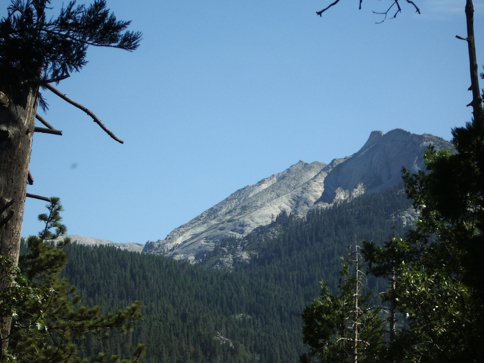
From the trail, we got great views both into the high country above:
The fun part of this section of trail is the crossing of the Middle Fork of the Kaweah River. By this time, we've crossed several streams, all dry crossings. However, when one finally reaches the major drainage of the area, the Middle Fork of the Kaweah, there is no such luck; you're going to get wet. Once, there was a bridge, probably, like much of the trailwork in the region, of CCC origin. Now all that remains are a few river rock-and-concrete footings:
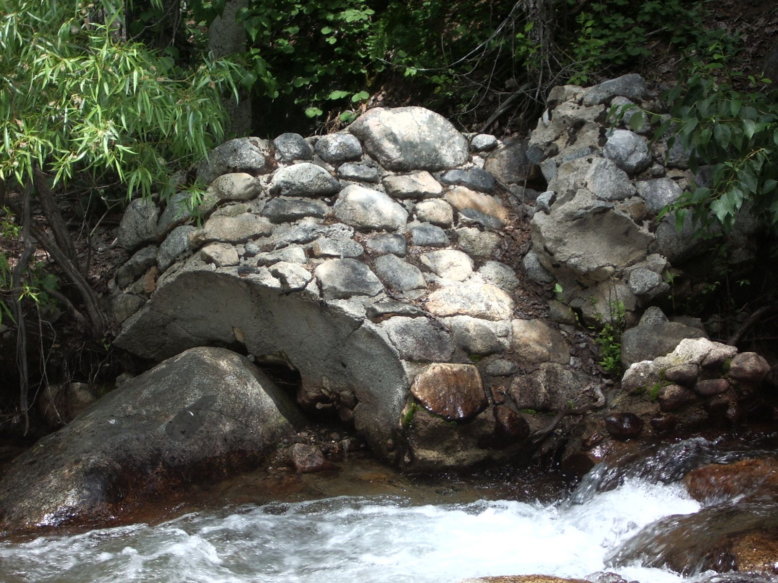
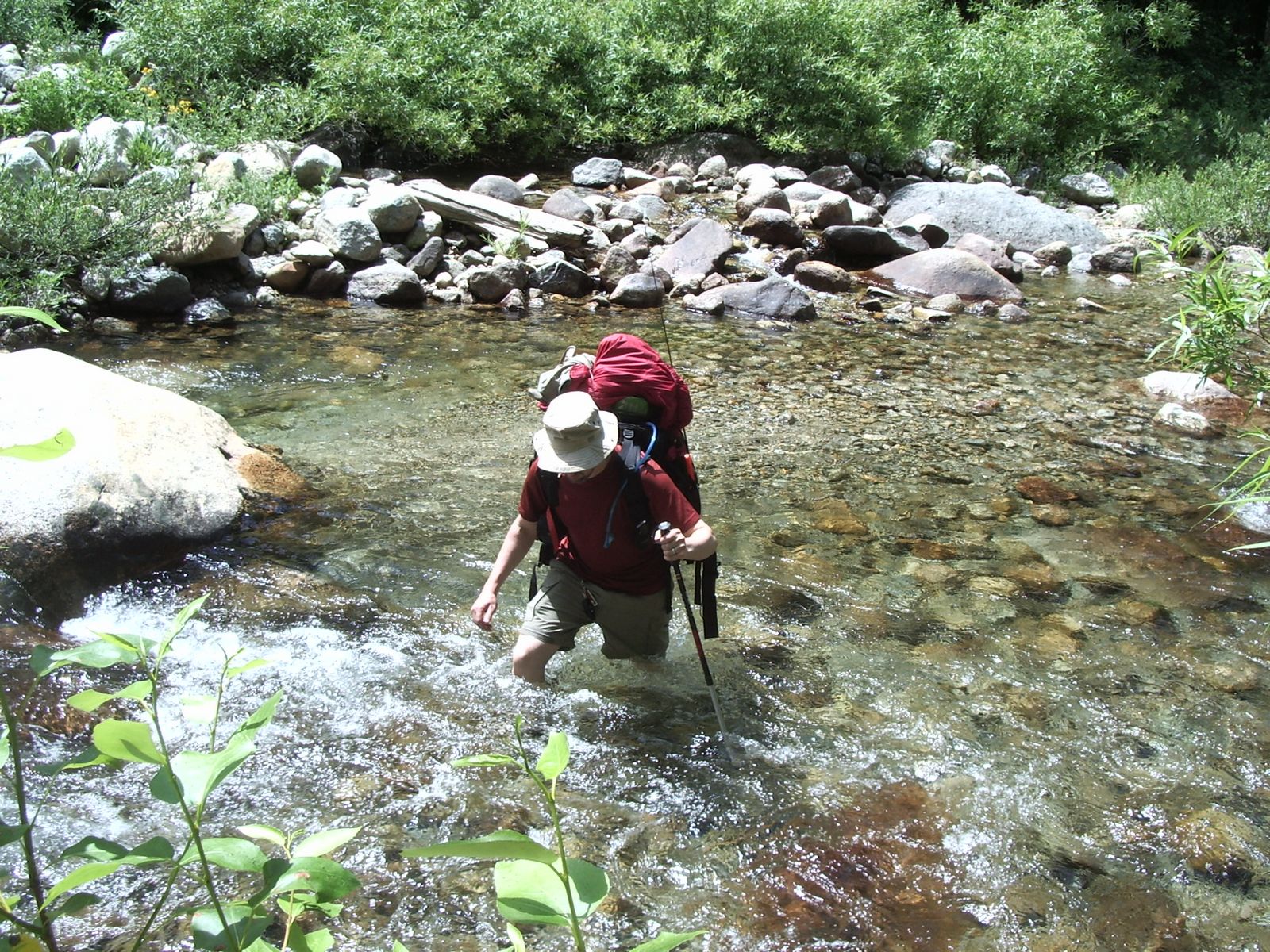
The first order of business in crossing the Middle Fork of the Kaweah is to ignore the trail. Approaching the river from the south, the trail makes one final switchback to the west (downstream). Ignore this switchback. Instead, from the point where the trail begins that last switchback, follow an obvious use trail upstream. As the the use trail descends to the river, it enters a rocky zone and disappears. At this point cut more or less directly down to the river, angling slightly upstream. When you reach the bank of the river, you should be able to see the old bridge footing on the opposite side of the river. Cross just downstream of the old bridge footing. The water of the Kaweah moves with a good deal of force. A trekking pole is most useful.
Crossing the Kaweah:
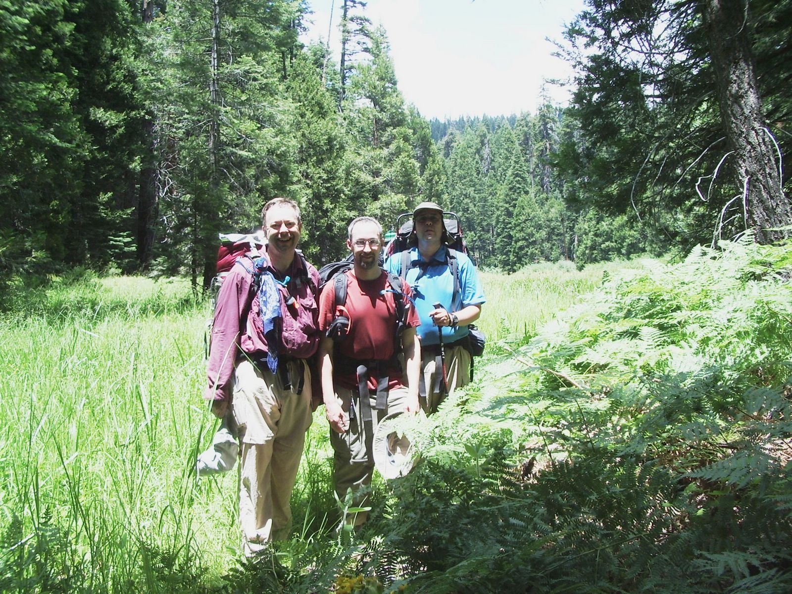
Now begins the ascent to Bearpaw Meadow and the High Sierra Trail (HST). En route, one passes lovely Little Bearpaw Meadow:
Reaching the HST, we turn east to begin our climb deeper into the Sierra. Shortly after reaching the HST, we pass through Bearpaw Camp.
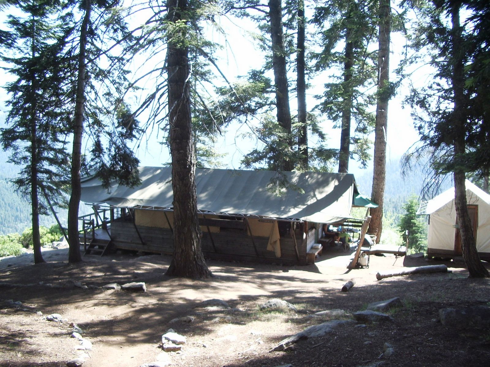
Now Bearpaw Camp is a sweet deal. They've got cabins, beds (with sheets), hot showers (wood fired!), and a dining room. All you need to bring is yourself and a daypack with a few incidentals. It's expensive (from talking with some of the guests) and reservations can be difficult to get, but what a great basecamp from which to explore the local Sierra backcountry without having to schlep a ton of gear. The view from the front porch of Bearpaw Camp:
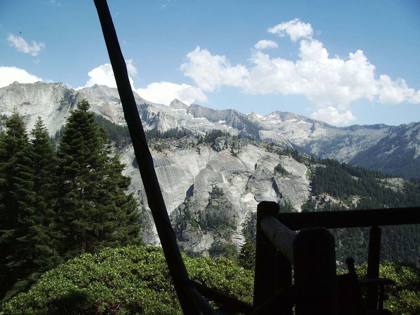
Not too shabby!
Continuing eastward on the HST, views toward the high country and the headwaters of the Middle Fork of the Kaweah -- and Kaweah Gap (Day 3's major objective) -- begin to open up.
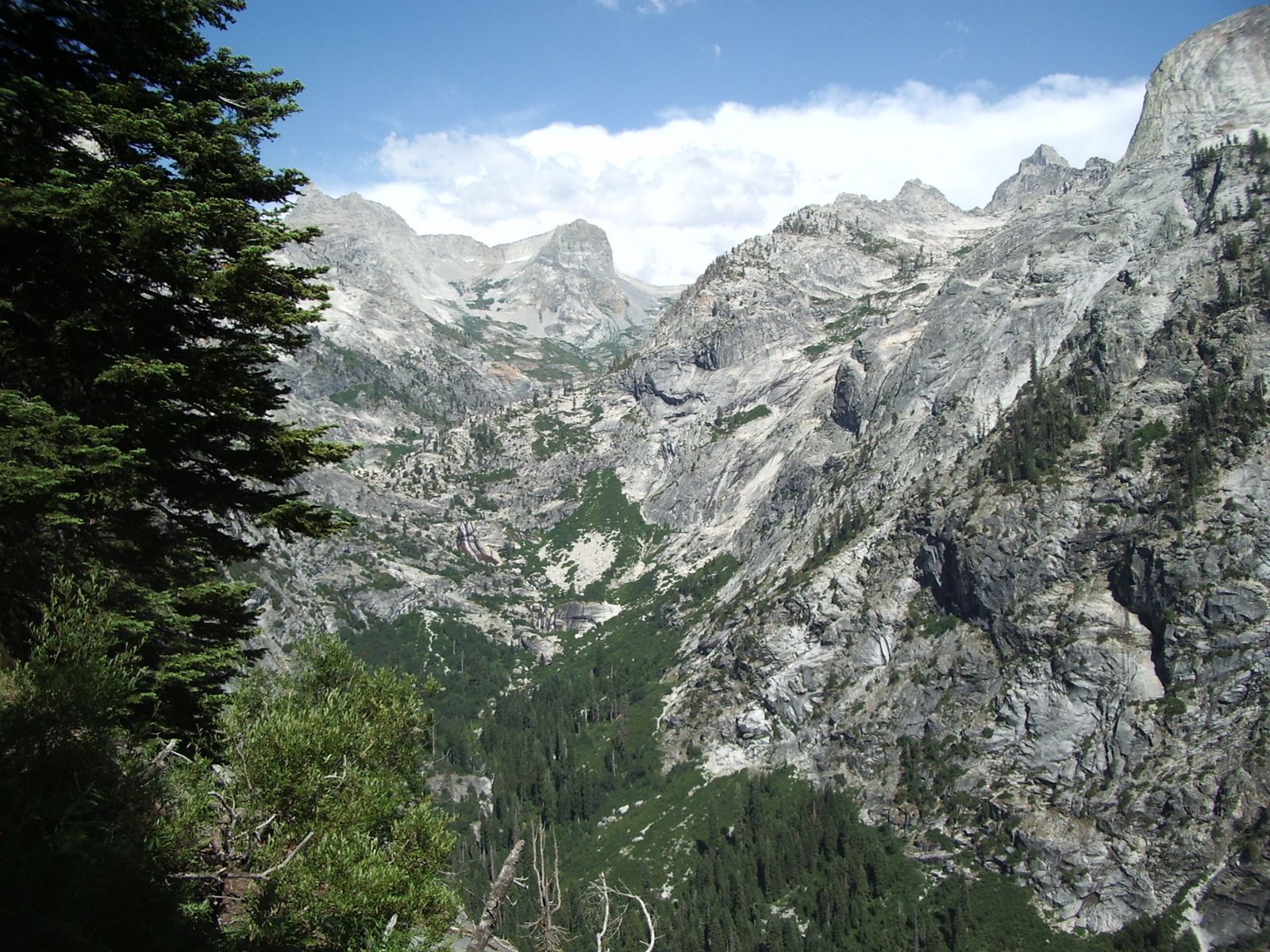
Note the twin waterfalls (they're a little hard to spot) just left of center of the middle of the photo.
En route to our camp for the night (Hamilton Lake), we cross the deep and impressive gorge of Lone Pine Creek:
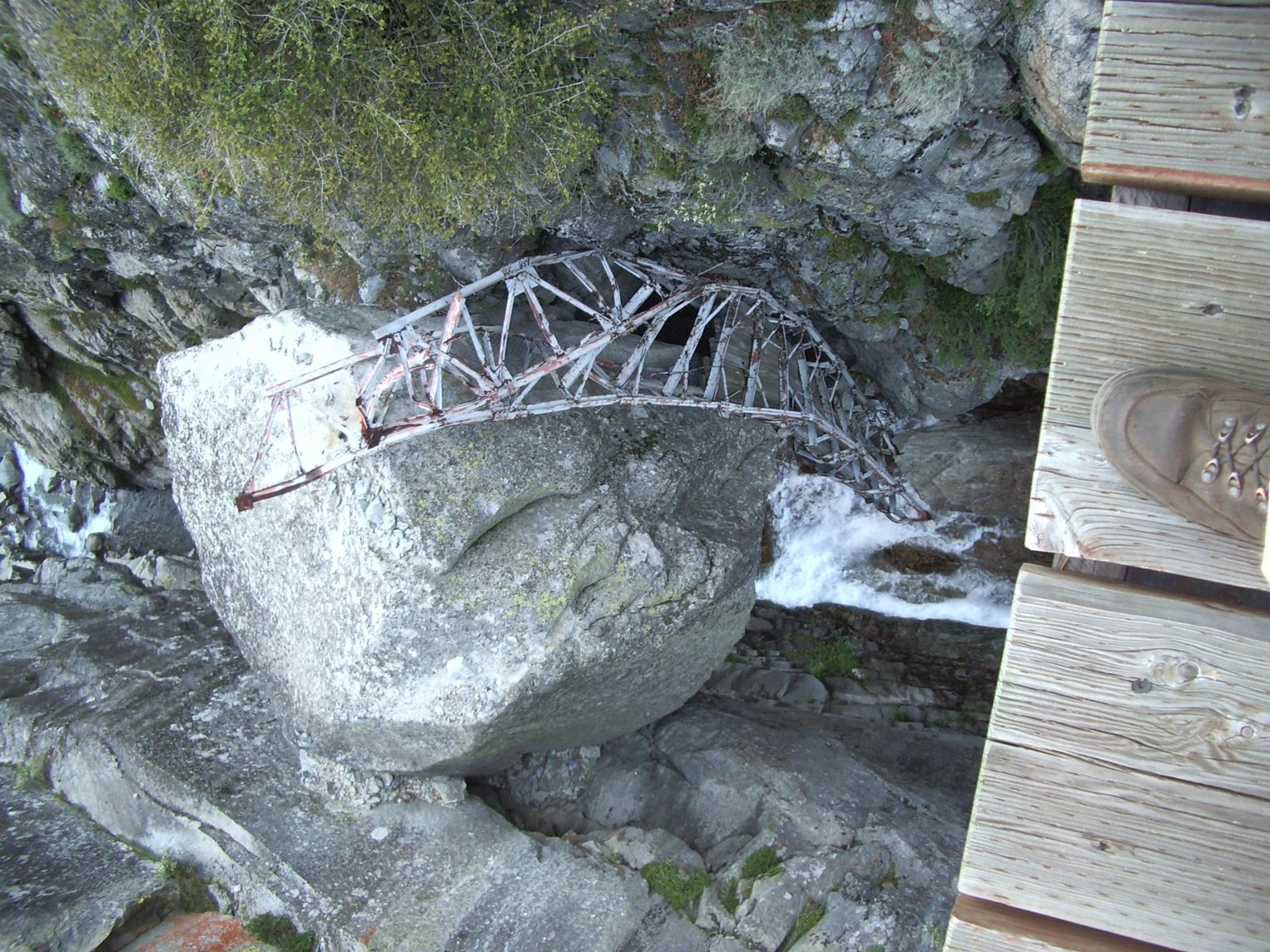
Looking down into the deep gorge, one sees the old bridge far below wrapped around a boulder that's larger than most houses. Never underestimate the power of fast moving water!
As we head further east on the HST, the canyon walls become ever more sheer. The trail is literally blasted out of the rock. Watch that last step; it's a doozy:
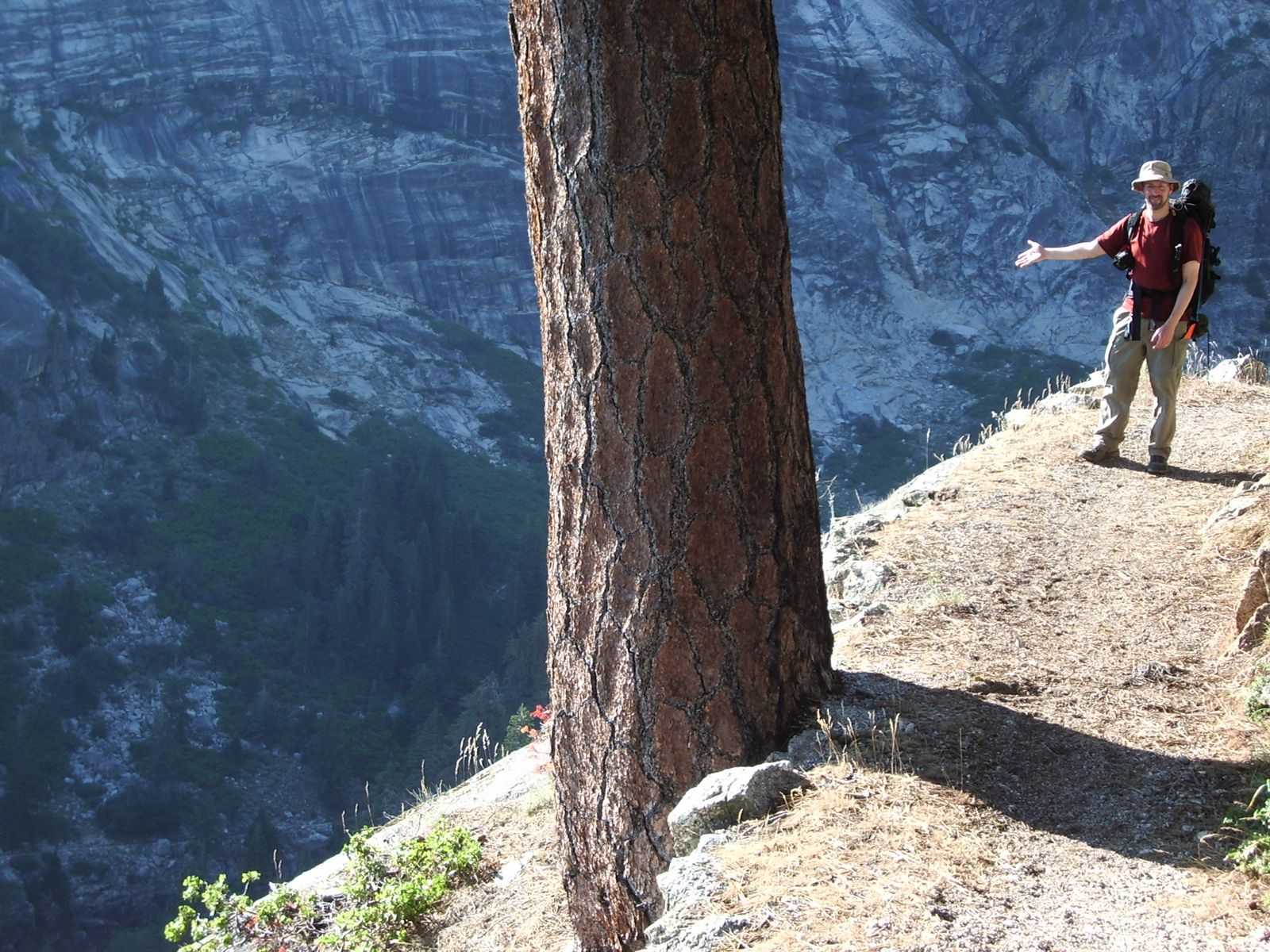
Interestingly, the trail crosses the to the south side of the canyon directly at the head of the falls I mentioned a couple of photos back. One doesn't need to step quite as close as I did to the edge, but it does make for an interesting shot.

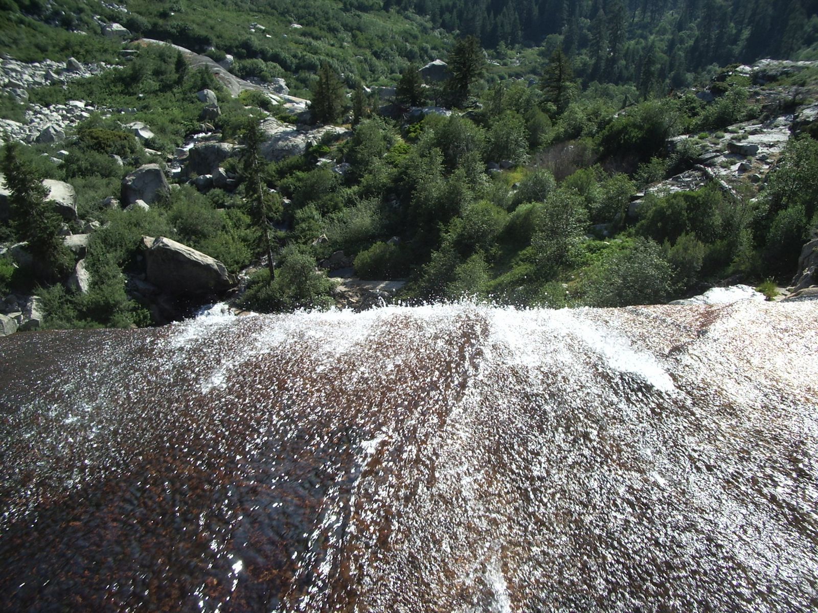
After a long, exposed climb in the hot afternoon sun, we at long last arrive at our destination for the evening, scenic Hamilton Lake:
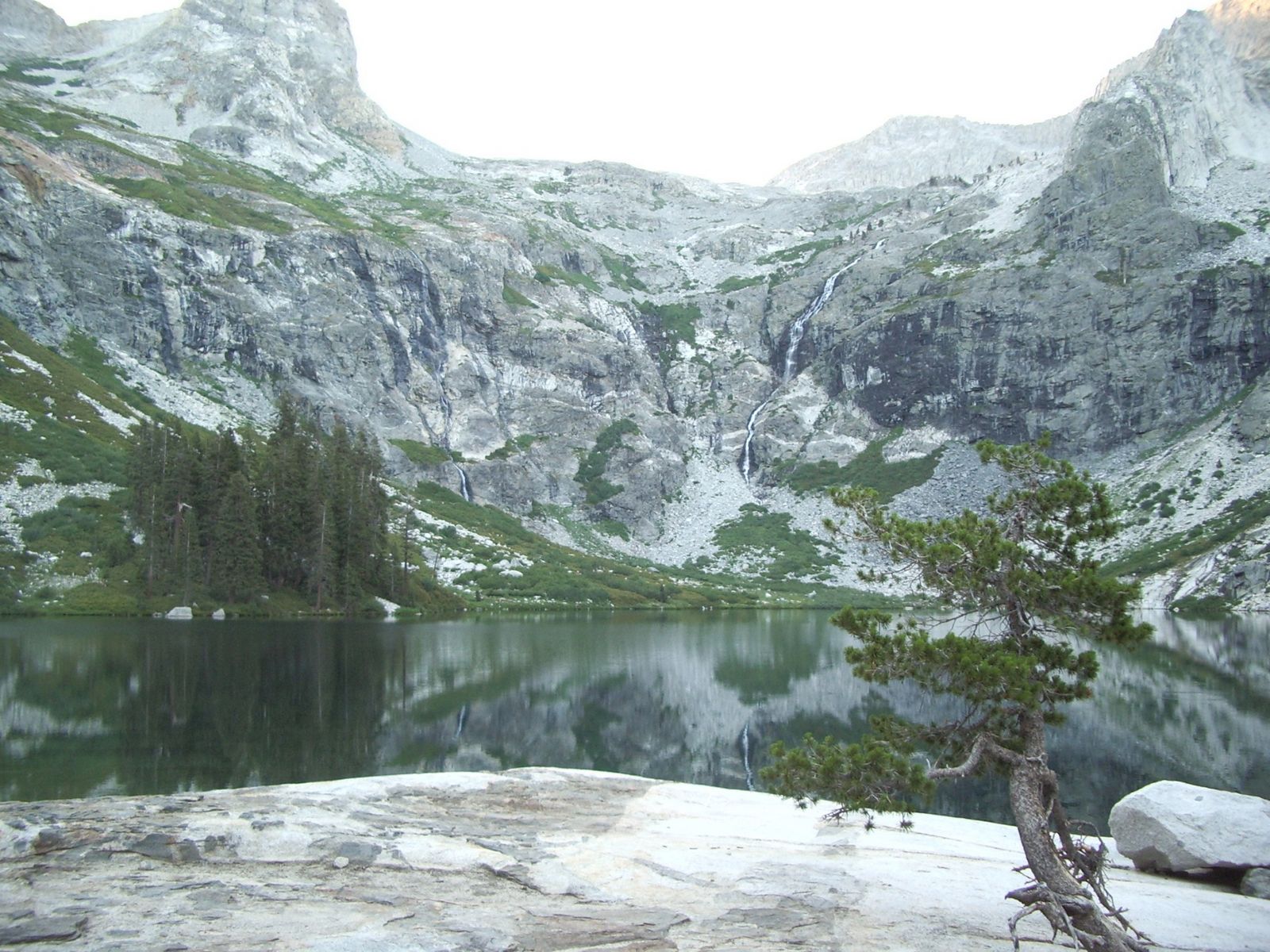
Actually there are two lakes; indeed the map actually says "Hamilton Lakes" not "Hamilton Lake," but the lower of the two lakes is far smaller, and frankly is of no comparison to the beauty of the upper lake with not one but two water falls streaming down the sides of the breath taking granite bowl in which it lies. Photos can hardly do it justice.
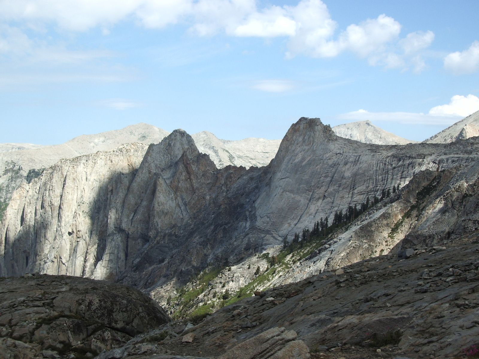
Hamilton Lake is situated in "Valhalla," a popular rock climbing area in the Sierra. Valhalla is particularly popular with Big Wall climbers. The solid, smooth granite of the Angels Wings formation is often compared to that of Yosemite. Angels Wings, from below:
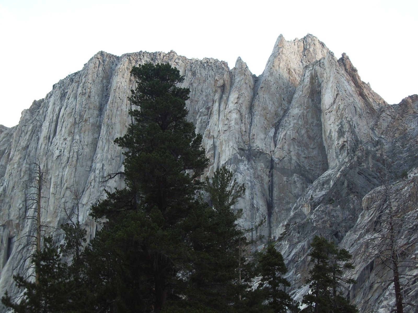
Angels Wings, detail (of a small section):
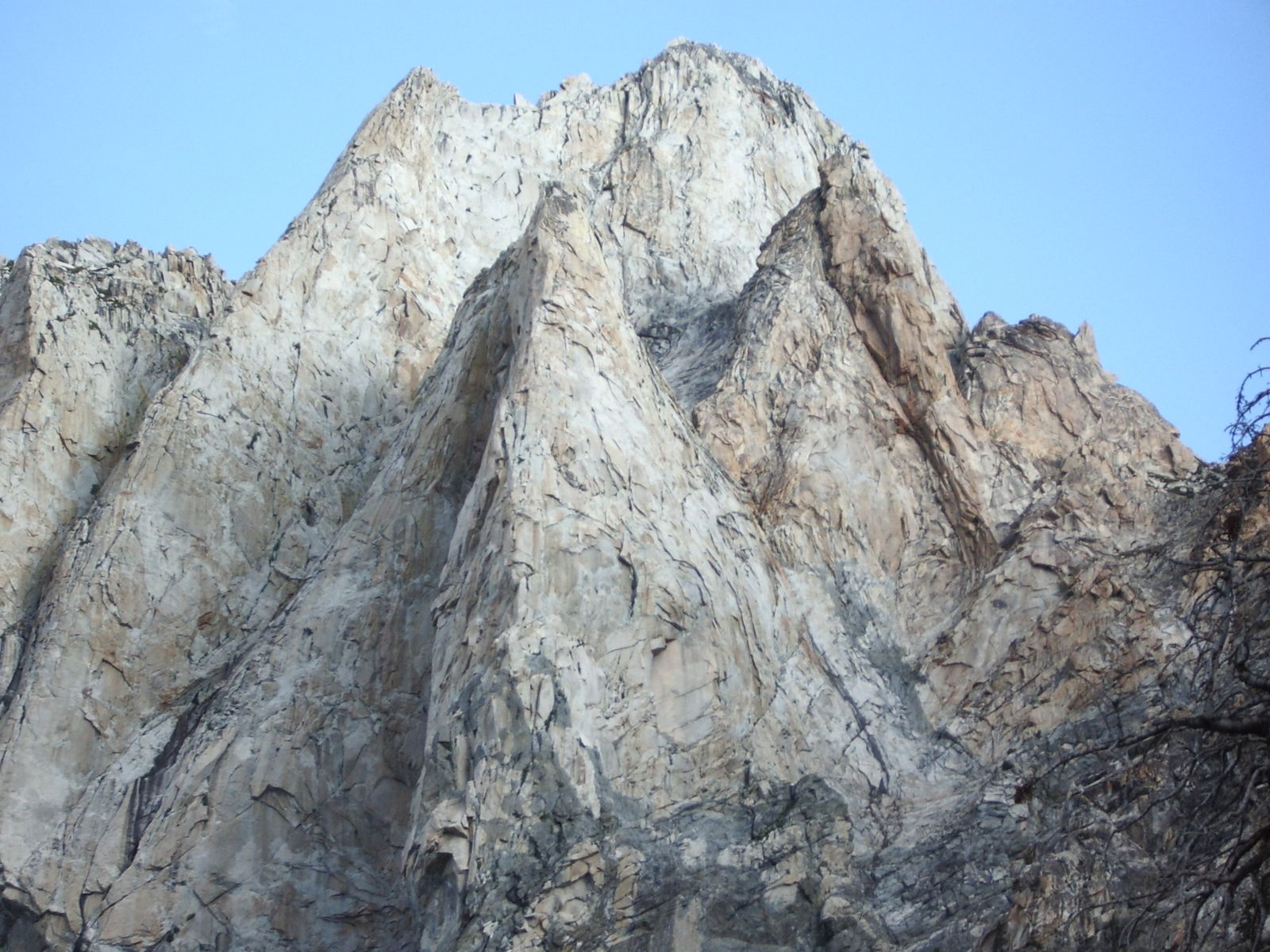
Angels Wings, from (far) above:
The view of the star filled sky above the walls of the bowl was nothing short of breathtaking. We ended day two with a restful sleep.
To be continued with Day Three...