The hike was done back in early March (sorry for the lateness of this report!) as we wanted to avoid high temperatures. This section has relatively little shade, as most of the route lies within the borders of Anza-Borrego Desert State Park, so overheating can easily become an issue.
This section is also notorious for its lack of water. We might have tried hiking it earlier this winter, except there were no recent entries on the PCT Water Report and we didn't dare attempt it without any beta, especially during a dry year like this. I kept checking the water report, and finally in late February one strong hiker passed through and updated everything. Hooray!
After that, it was simply a matter of balancing our hiking ability with the water locations and coming up with a plan of attack. We're not ultra-light twenty-mile-a-day PCT through-hikers. Oh, no. Carrying full packs, twelve miles is about the most that we might attempt, and we'd surely be whupped by the end of the day. After studying the map, I concluded that four days would do it. Caltopo Map of our hike
The only other problem was logistics with our car. We really needed two cars, one at each end. I tried to convince Hikin' Jim to accompany us, and he was willing enough, but his new job made an extended trip impossible. So we finally resorted to renting a car, but not for four days ($$$). Our daughter volunteered to drive us and return it within one day. Excellent!
We left San Diego at dawn and dropped off our car at the PCT trailhead parking lot on Highway 74 in Anza. Then we all piled into the rental car and drove the long way around, south to Highway 79 in Warner Springs.
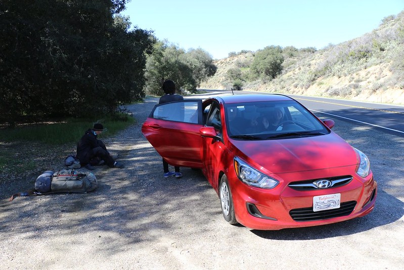
PCT trailhead parking on Highway 79. At this point, we're committed to hiking all 41 miles if we ever expect to see our car again!
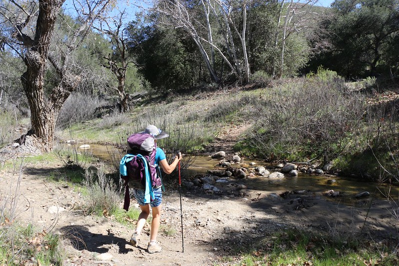
The first part of the hike was along Agua Caliente Creek, which was flowing nicely, thanks in part to the inch of rain the weekend prior.
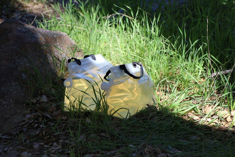
After five miles along the creek, we pumped two gallons of water and carried it with us (uphill out of the canyon) for another three miles.
This had to last us until the next afternoon.
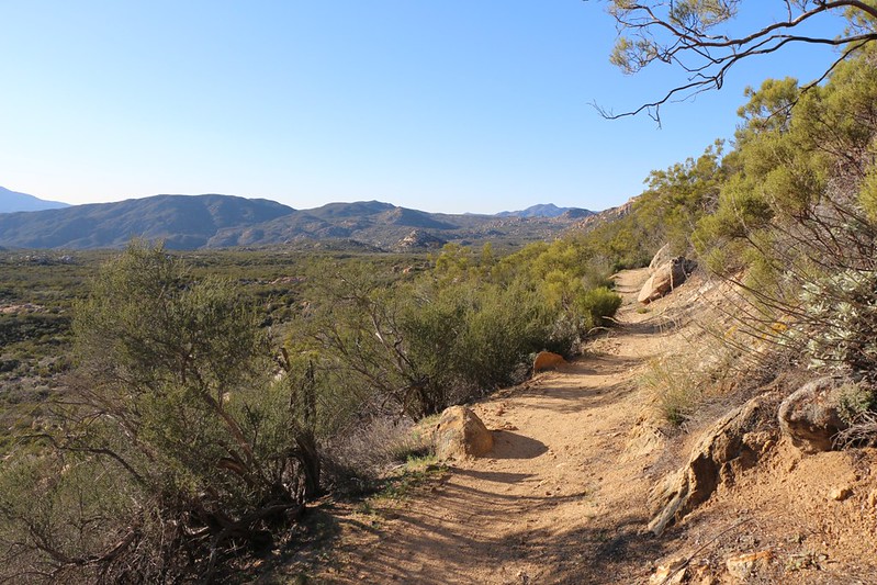
Rocky Mountain and Beauty Peak (5545 ft) in the distance from the PCT near Lost Valley Road.
We camped less than a mile further, on an abandoned spur of Lost Valley Road, which was one of the few spots both flat and clear of brush. This entire area was full of "Ribbonbush" plants, a version of the chamise plant that makes up most of the chaparral in this part of southern California. It wasn't the prettiest campsite I've ever used, but it had a nice view to the west, and we were tired enough that we didn't care. We knew that tomorrow would be the toughest day, ten miles of hiking and most of it uphill, so we planned to get out of the sleeping bag before dawn.
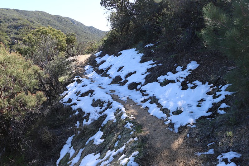
Residue of snow on a north-facing section of trail from the storm the previous weekend. It was melting fast in the 70 degree heat, but it was fun to walk on.

Hot Springs Mountain (elevation 6533 feet), the highest point in San Diego County. Technically, watershed-wise, it sits directly on the Pacific Crest, with rain on this side heading west to the Pacific Ocean, and on the far side draining into the Anza Borrego Desert.
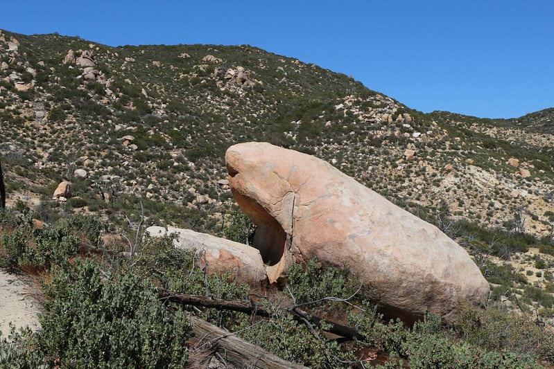
This big gaping granite boulder deserves a name...
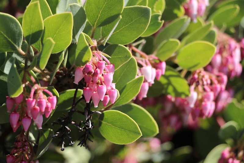
Manzanita blooming.

Filtering well water from the jug/hose at Trail Angel Mike's "Skyranch Sanctuary" at mile 127.
360 Video of a lazy afternoon at Trail Angel Mike's Warning: Loud music! And it isn't a video artifact; it was REALLY loud, but good, too.
They offered to share a spaghetti dinner with us, but we declined. We had to hike two more miles, all of it uphill (now with extra water-weight), to get to our campsite for the night.
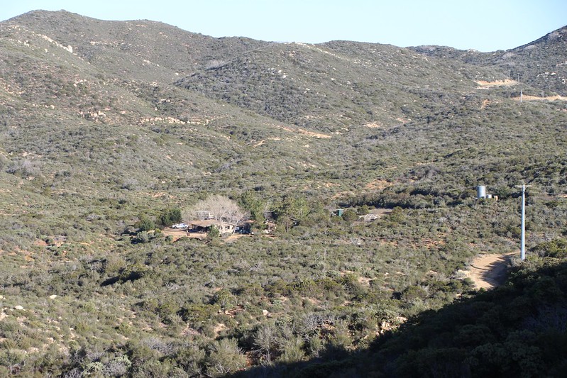
Looking back south to Trail Angel Mike's place.
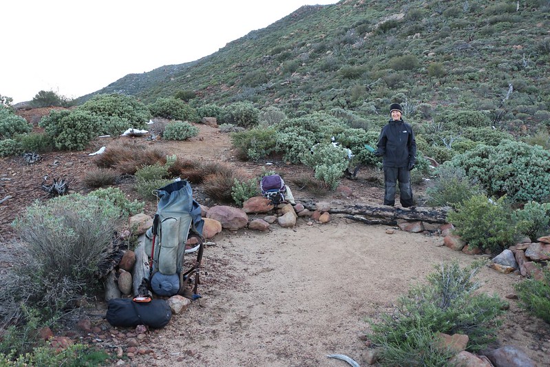
Campsite on the saddle next to Combs Peak. The views from here were great! Well worth the extra effort to climb up here with all that water. It was late when we arrived, and the sun set as we ate dinner. Then we slept like logs. We were exhausted.
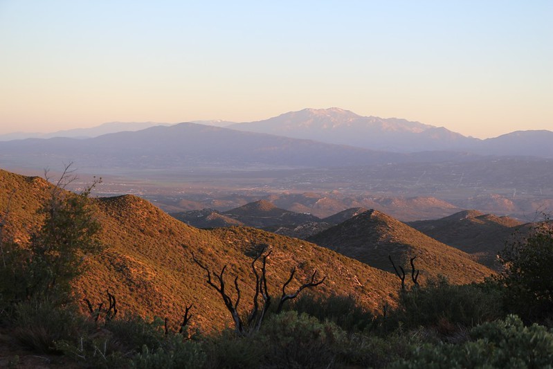
Lovely dawn light. Thomas Mountain left of center, with the Nine Peaks and San Gorgonio in the far distance behind it, and San Jacinto right of center. The town of Anza lies in the valley below.

Panorama view north and east as we hike down and down into the desert. San Jacinto and Toro Peaks are in the distance.
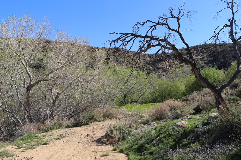
Tule Spring on the PCT at mile 137, down at the end of Tule Canyon Road. There was a big cement water tank here, with a large valve and a hose to get water. We never ventured down into the canyon itself to see if there was running water. Vicki decided to take a fast cool-off shower under the hose as it had been very hot hiking in the sun all day. The water was much colder than she expected! Video
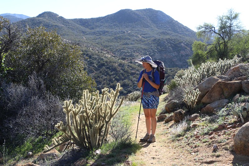
Cholla cactus and other cacti began appearing as we reached lower elevations.
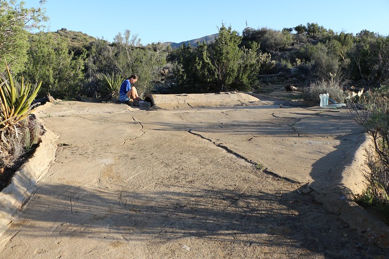
Water Cistern near Coyote Canyon Road. This was a large (20 x 20 feet) sloping cement structure that was designed to funnel all rainwater down to a catch-basin at the lowest point. Quite ingenious!

Luckily for us it had rained the weekend prior to our trip, so the cistern was nearly full. Otherwise we would have had to hike two miles back to Tule Spring. This water source was less than a mile from our intended camp for the night at mile 140. As you can see, there are a few "floaties" lurking on the surface, but it filtered clean and tasted just fine!

Sunset clouds at our campsite on the PCT near Coyote Canyon Road.
We didn't have any great views here, but that was OK with us as we were tired. Also, stopping here was part of my evil plan to cheat a bit. Coyote Canyon Road was accessible by car from the town of Anza off Highway 371 (though you might be happier driving a truck). So the next morning, after packing up our tent and eating breakfast, we left my backpack and all the heavy gear stashed behind a big boulder. We would come back later in the car and pick it up! Then we packed the bare minimum for a twelve mile dayhike into Vicki's light Osprey pack. I had no hesitation whatsoever in being the pack mule under these conditions, even though the trail was predominantly uphill the entire way.
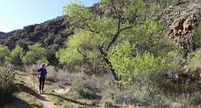
Nance Canyon. The green leaves show that there's water down there somewhere. We could smell it, but we never saw any water flowing. Nice spot to camp.
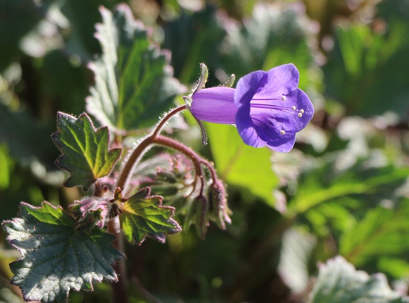
Spring wildflower in the desert.
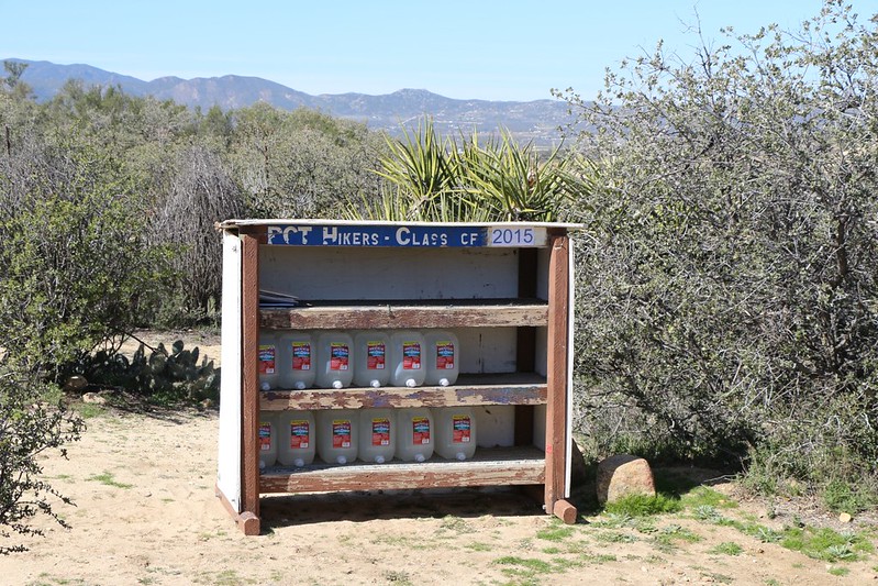
Water cache at mile 143. It had just been stocked in preparation for the hordes of through-hikers that would soon be following our footsteps. We still had plenty from the cistern so we only entered our names in the register. Thanks, trail angels!
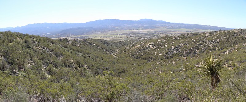
View southwest across the Terwilliger Valley in Anza. Combs Peak (Bucksnort Mountain) on the far left was where we'd camped two nights previous, nearly 17 trail miles to the south.

Santa Rosa Mountain and Toro Peak over Alkali Wash and Horse Canyon. If you follow that wash downhill you'll end up in Borrego Springs.
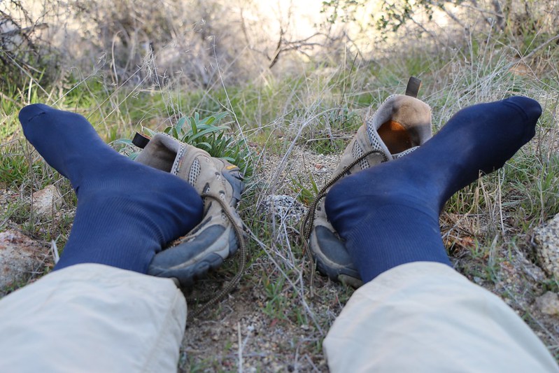
Cooling off my hot feet in the shade. Every hiker knows what a heavenly feeling this is!

Lookout Mountain (elev 5590 ft). The PCT climbs over its left shoulder.
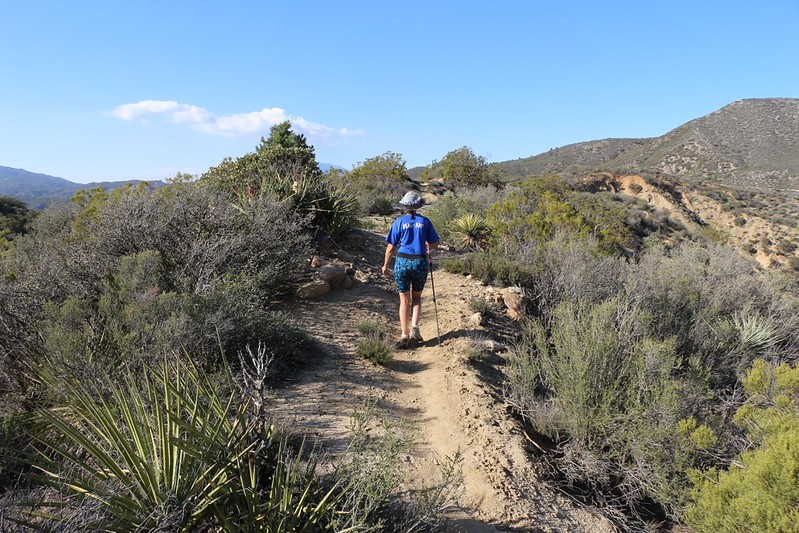
Hiking the narrow crest between Burn Valley and Horse Canyon south of Lookout Mountain. This was about as crest-like as it gets. The trail travels directly on the watershed dividing line here, with steep drop-offs to the right into the desert. Fun!
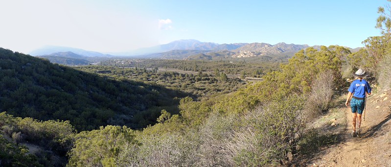
Panorama view north toward San Jacinto Peak from the saddle on Lookout Mountain. Highway 74 lies below us, and the hike is nearly over!

Zoomed-in view of our car in the PCT trailhead parking lot on Highway 74 near mile 152.
We weren't surprised that there was only one car parked here. During four days and forty one miles of hiking, we hadn't seen a single person travelling on the PCT! Surely, this is one of the least-visited stretches of this trail. If you're looking for the beauty and solitude of the high desert and chaparral country, this is a great place to hike.
Caltopo Map of the hike.
LOTS more pictures from the hike.
Have a great 2015 Hiking Year!