My trip report and the rest of the photos can be seen here:
Alto Diablo Peak via 'Duct Tape Ridge' Trip Report, Jan 17 2015
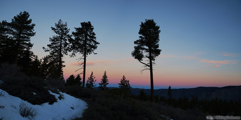
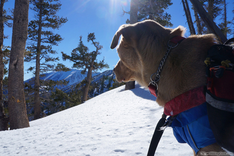
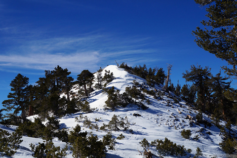
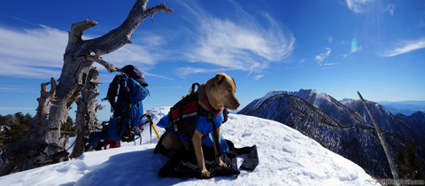
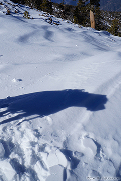
Some highlights:

Hiking, Climbing, Camping, Trail Running, Snowshoeing...
 by 63ChevyII » Fri Jan 23, 2015 10:01 am

by Sally » Fri Jan 23, 2015 1:24 pm

by 63ChevyII » Fri Jan 23, 2015 2:12 pm
Return to Outdoors-Related Topics
Users browsing this forum: No registered users and 6 guests