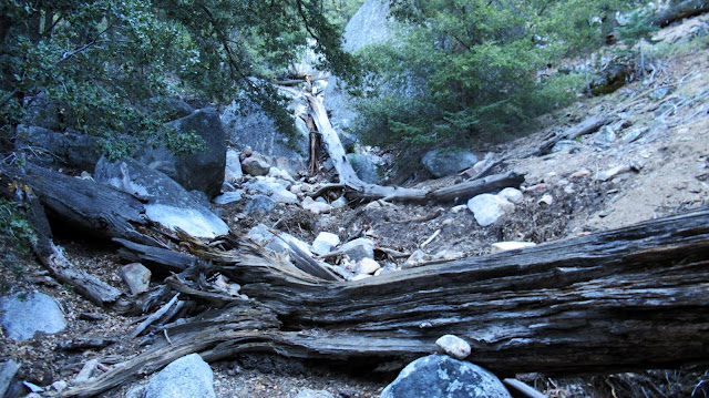
I've wanted to climb Lily Rock (aka Tahquitz Rock) since looking down on it from Marion Mountain. From Humber Park at 6:45 AM on Sunday, I descended to the Ernie Maxwell trail and took it to the ascent gully about a half mile down trail. I stayed left above the gully and hiked through a lot of dead trees. The slope was very steep and loose. I might have done better in the gully. I reached the right side of the saddle between Lily and Tahquitz Peak and did a short down climb to get to the base of the summit looming 160' above. I explored left then right, blazing a route through a dead tree and up a curved block with a 2' crack. Next was a very exposed move across the crack to a big slab, then the summit. I found a cement marker on top reading "HI 10" (?) and great views all around, but no register. I could hear climbers yelling to each other on the vertical face below, but didn't see anyone. I looked for an easier way down and followed a low class 3 gully which would have been on the left side going up. It was much better, with only a single exposed 4' ledge past a bush. The 4' ledge was slightly angled down and there was a down climb there if you prefer not to cross it. I learned later this was the main route. I returned across the saddle and started plunge stepping down. While it was 2 steps forward, 1 back going up, it was 2 steps down then slide another step going down. At around 7500', I took a big step directly over a curled rattlesnake. It was thankfully still cool out and I was under full shade. The snake moved slowly and evenly uphill toward a tree, not bothering to rattle a warning. It was a juvenile probably waiting for the sun to break through the pines. The rest of the descent was low drama and I returned to the truck to reset for a trip to Suicide Rock.
ascent gully
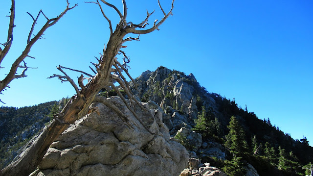
Lily Rock from the saddle
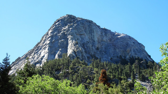
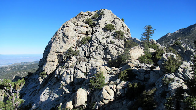
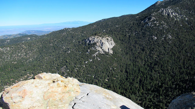
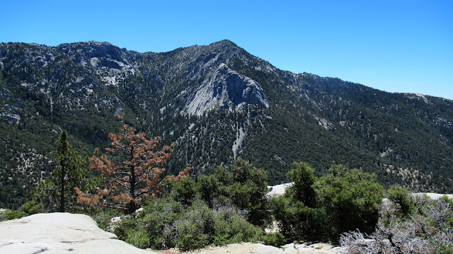
Tahquitz from the saddle
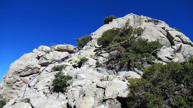
I took the yellow route up, blue down
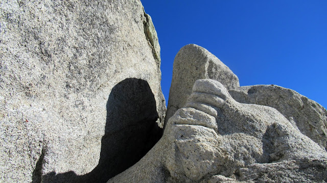
The rock with the 2' crack
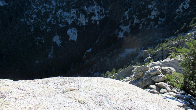
Looking down on Suicide from Lily
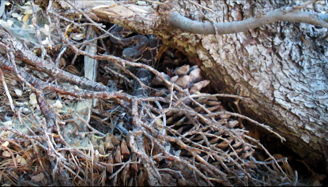
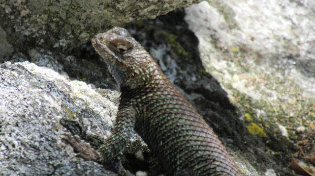
My snake friend at 7500'
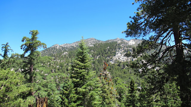
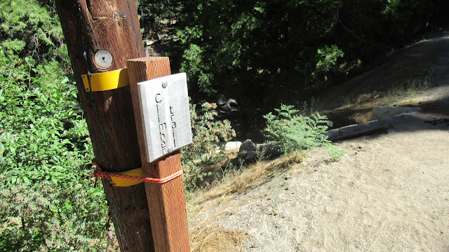
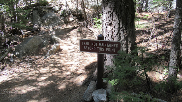
The official trail to Suicide Rock is about 7 miles long, but I had read about a short climbers trail that drops off the side of the road not far below Humber Park. I took a break at the truck then followed the paved road down by three green water tanks. I found a small "climber trail" sign and dropped down the trail to cross the creek. It emerged onto a private paved road (with hike through granted), then turned into a dirt road and finally a single track below Suicide Rock. The trail is unmaintained and several other use trails splinter off. I just continued up. As you approach the tall granite slabs, the trail has sections of class 2. Here the trail goes right and follows below the slabs. I passed multiple parties climbing various routes. As the slabs end, you reach the ridge and intersect the main trail. I took the main trail to the look out point with fantastic views. Then, I followed a use trail to the less impressive summit with small boulders, surrounded by trees. I returned down the climbers trail. Love this area.
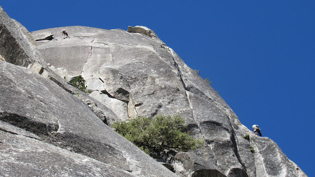
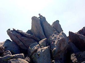
Some climbers on Suicide
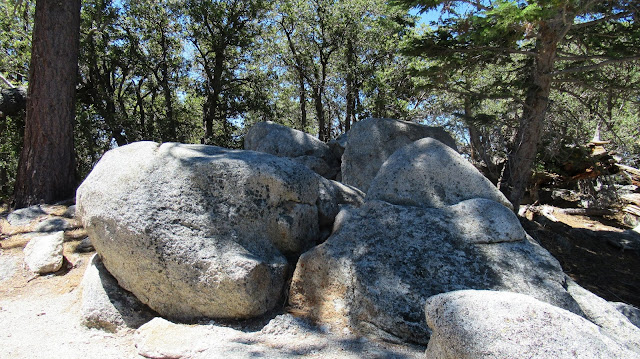
Unimpressive summit of Suicide