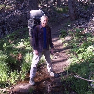
We drove up the freshly-plowed Black Mountain Truck Trail (Forest Road 4S01) and stopped off at the Boulder Basin Campground in order to check out the Black Mountain Fire Tower. We parked the car and made the short hike up to the tower.
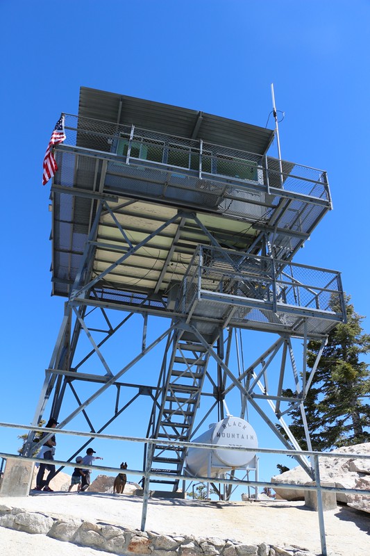
Black Mountain Fire Tower from below

Folly, San Jacinto, Jean, and Marion

Vicki on the tower with Fuller Ridge in the background

Looking through the window of the Fire Tower. A hotel with a view!
We enjoyed talking to the couple who were volunteering at the tower, and learned a thing or two about it. We checked out the insulators on the furniture legs that were for use during thunderstorms. We asked them if they both slept on that tiny bed together, and learned that there was also a folding cot. But we secretly thought that the bed wasn't much smaller than the one back in my dorm room in college, and that the cot certainly wouldn't be needed for the two of us, especially on a chilly night at elevation.
After that, we drove a few miles further to the Fuller Ridge Trailhead parking lot. This was the real reason we came, to hike what we both felt was the most beautiful trail in the San Jacinto area.

Panorama view east over the desert from the Fuller Ridge Trail

Zoomed-in view of snow on San Gorgonio Mountain

After a mile or so we arrived at what I call Gooseberry Meadow. They were only starting to flower this early in the year.
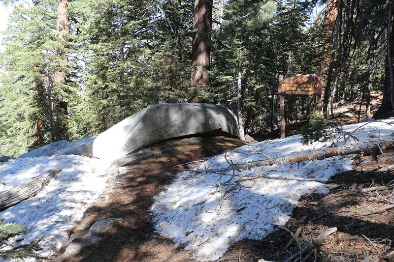
We entered Mt. San Jacinto State Park with patches of snow still melting
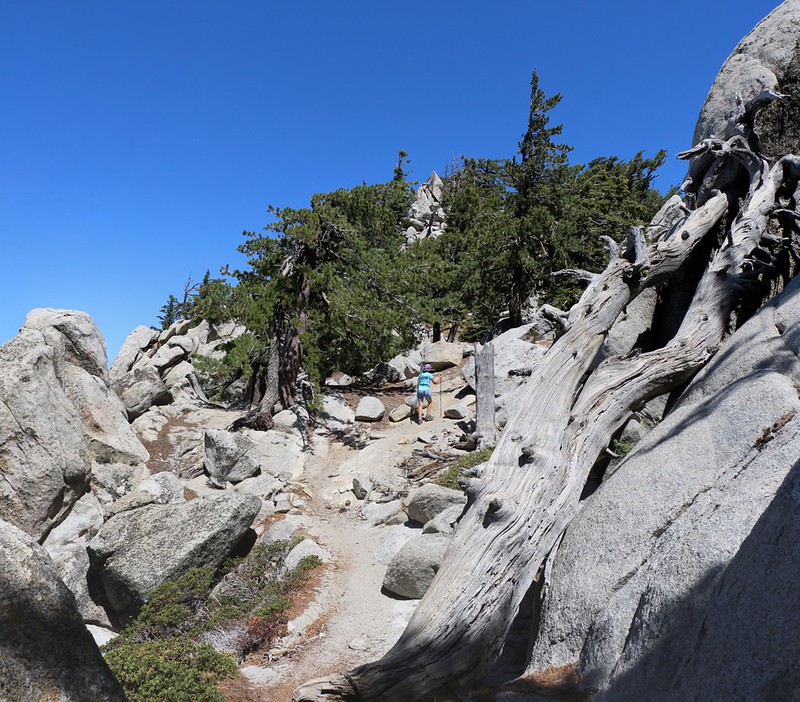
Since we'd already bagged one peak, we decided to try another: Castle Rocks. It was directly up a very steep slope from the trail, and we'd always passed it by on our other hikes. But not this time! We used the GPS and climbed directly uphill from the trail. We thought about sidehilling up from the switchback section just ahead, but decided that we really hate sidehilling. It turns out that the sidehill way is the "official" Sierra Club way. Too bad. We did it our way. And it was great on top!

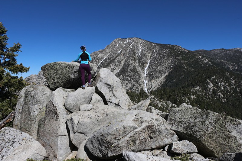
Nearing the ridge top just south of the Castle Rocks summit

Panorama view south toward Folly Peak and Marion Mountain
Vicki climbing the easy summit block. There was a register up there, too, thanks to Mars Bonfire. Not many people sign it, and we were the first since last November.
After that it was time to keep hiking. We thought that if we had enough energy we might even try to bag Mount St. Ellens and Joyce Peak. We doubted we had the time to make it to the San Jacinto summit, although we weren't all that confident that bushwhacking to the two smaller peaks would be much easier. Still, we weren't worried. We were on vacation, and if we turned around early, well, who cared? It was enough to simply be out here on this trail.
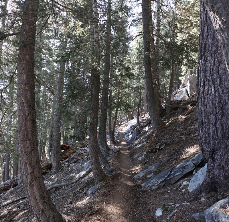
Tall pines on the Fuller Ridge Trail. I love these trees. In April the PCT through-hikers were having a lot of trouble with snow along here.

Beautiful views east over the Coachella Valley

Great views west after the trail crosses the crest. This is directly on the Pacific Crest.

Zoomed in view of the Black Mountain Fire Tower.

Looking back, north down Fuller Ridge to Black Mountain

Zoomed in view of Mount Baldy, 63 miles away in the hazy distance
Sadly for us, at this point Vicki discovered that she couldn't find her prescription sunglasses. We looked everywhere, tore apart our gear, and did it once again to be sure. She remembered taking them off and carrying them in her hand somewhere along the trail, but that was about it. And we'd taken several rests along the way, so she probably set them down and left them. But they might be anywhere. What to do? Well, it didn't take a whole lot of deliberation. We knew that people wouldn't steal them, but they very well might do the opposite, by taking them back to the trailhead, or, even worse, leaving them at one of the ranger stations back in town. Helpful people: How annoying! The glasses were too expensive to lose, so we turned around.

We headed north, searching along the way for the missing sunglasses. It was easy to get distracted from the search with all these views!
The trail goes up and down along the spine of Fuller Ridge
Eventually we found the errant sunglasses, sitting on a boulder next to the trail. Hooray! Unfortunately, however, they were all the way back where we'd joined the trail after climbing Castle Rocks. Our dreams of peakbagging had been utterly dashed. But that was OK, we said to ourselves. We were on vacation, after all, and we'd just hiked the prettiest section of the trail, so life really wasn't all that bad. We'd see those peaks another time. It's always good to have an excuse to visit this trail. We'd be back!

Much longer Trip Report, many more photos and videos, and a topo map. Happy hiking!