Expected daytime highs in the valley were mid 80's so I figured leaving a little before sunrise would be fine. Fast forward to 6:30 and i'm at the Museum trailhead scrambling to make sure I dont forget anything. Went from trailhead to my car on Belardo Rd 3 times because i'd forgotten something. People are coming down from the picnic tables already. What the hell am I doing starting so late? Is this a mistake? I continue anyways.
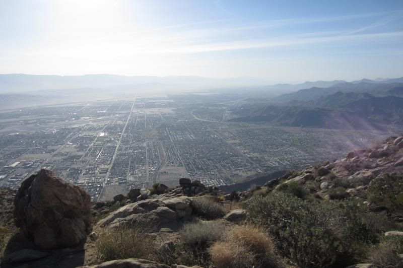
I try to do around 10k' per week, and around San Diego that takes doing a lot of small hills numerous times. I get so accustomed to seeing San Diego below, but not THAT far below. When climbing the Skyline, it felt like within only the first half hour the city was already one of ants. A smaller city means were making progress. I play a game in my head where I try to hold off looking back for as long as possible. Each time I do, I am blown away at the elevation i'm gaining. You keep marching up.
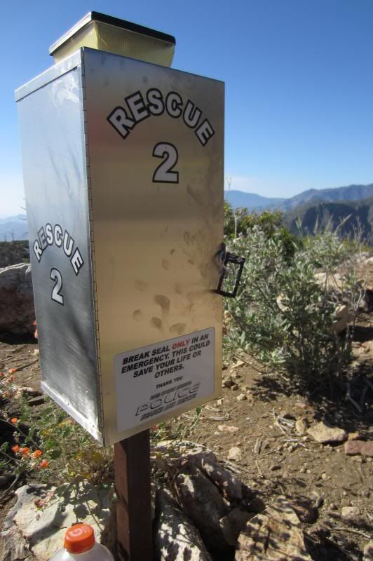
From the beta i'd gathered, there were rescue boxes and a 4300' marker. I'd forgotten the order of things and figured it wasnt important so long as I was on trail, so I never bothered to pull out the topo from my pack. The trail was a lot easier to follow than I expected. Very obvious in daylight. As I move up and up, I begin to wish there were no 4300' marker at all. I felt i'd already climbed a crap ton and still hadn't seen it. "Holy Hell! Im not even halfway to the tram yet?!". Eventually the tram was way too close to still be below 4300'... I musta gone right passed the marker without seeing it.
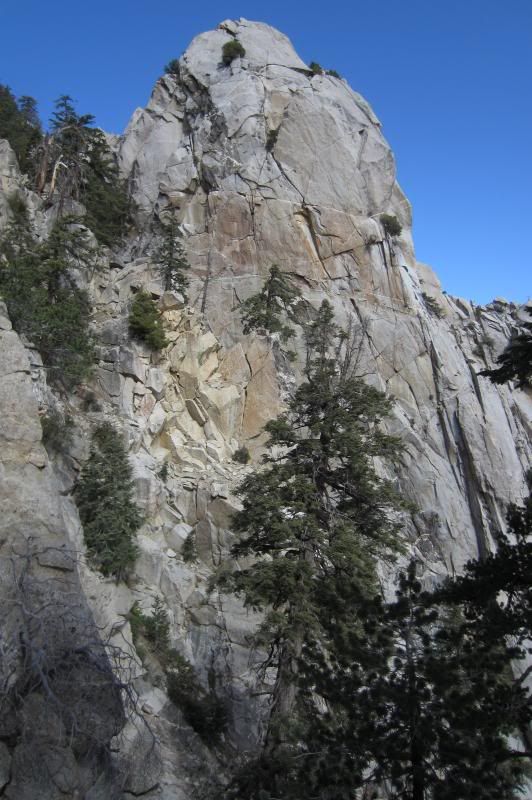
There were obvious cuts in some switchbacks which I was able to avoid by going for the more established path. Many forks were also marked with a line of stones and kudos to the people who maintain this trail... I tried doing my part by adjusting markers that had been kicked out of place or placing new ones to discourage off-trail trekking. The only time I actually felt off trail was toward the end of the traverse but a good look around quickly regained it. The least obvious section of the trail was nearing the end of the traverse. Thanks to some accounts both on here and from Robert Young (also contributor) I was told to get as close to Coffman's Crag as possible before heading up toward the notch. With that in mind, I had it easy.
Aside from the morning hikers coming down from the picnic tables, I only passed two people. One below the steep section leading up to the traverse, and another on the traverse itself.
Reaching Grubb's Notch is comforting and you convince yourself the journey to the top is almost over. It isnt. Ironically, the most confusing part of the C2C was finding the way to San J from Long Valley. It's no longer one trail, now there are MANY trails. I went with the vague image of the map in my head and managed to make all the right turns (literally). Must--keep--moving.
The mellower grades up to San J are welcoming and fool me into thinking I can actually run them. WRONG. I give it a few go's then realize my legs are totally spent. Back to plan B, hiking. My pre-tram style of ascent was slowly but surely, being consistent and never stopping. We'll just have to do this the rest of the way as now my legs are yelling at me, calling me bad names.
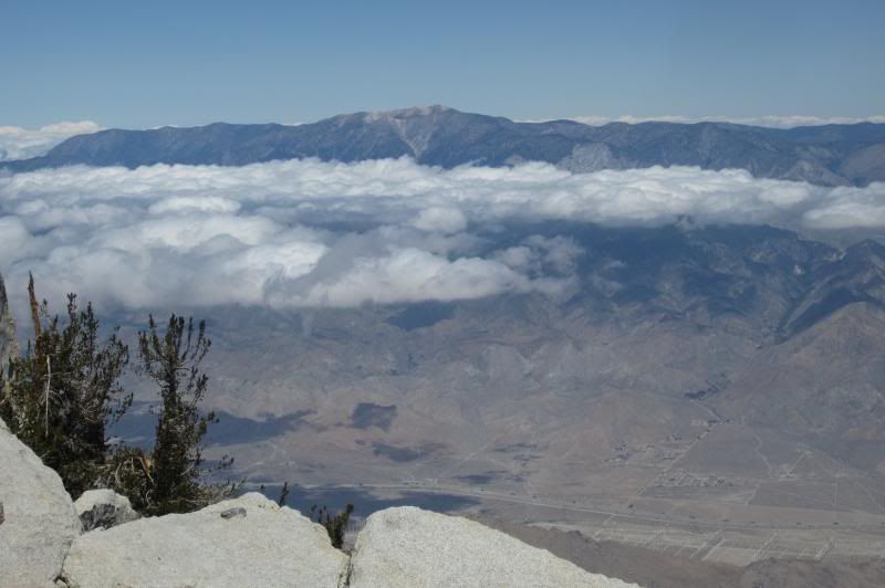
I pass a couple descending below the hut, do the last scramble over the granite blocks and get the summit to myself. Temps were in the low 40's with a stiff wind. Enjoyed the view for 5-10 minutes, froze, then continued back down. Seeing lots of folks on the way down was a nice change to an otherwise lonely morning. A thick cloud bank began creeping in just as I hit Wellman's so the trail gods must have been on my side.
Debated the full descent since I was feeling good and still had plenty of calories/water but I didnt want to spend the next week letting the knees recover. That tram ride down was gooooooooooood and now I get to run again tomorrow
Splits: (Forgot my rescue box splits and lost all my GPS data)
Museum >> 0:00
Ranger station >> 3:20 (skipped tagging tram door, cement path looked too long)
Summit >> 5:05
Tram door >> 6:08
This trail sounded scary. I wanted to go light but not too light. As a first timer I leaned on the side of caution and also wanted to be prepared for a round trip.
Gear:
Hat
Sunglasses
Short sleeve polyester shirt
Running shorts
Thin polyester socks
Road running shoes - New Balance 890
Very light wind shell (Put on at ranger station)
Buff (Replaced hat at ranger station)
Light gloves (didnt use)
Cell phone
Small external cell phone battery
$50
Credit card/licence
Chapstick
Headlamp
TP
Small light knife
Topo printed from home on 8.5x11
Food/Hydration:
3L in bladder (used 1.5)
20oz in water bottle with 3 Gu electrolyte tabs (used 2/3rd)
10 x 100cal Gu gels (used 5)
3 x Clif bars (used 1)
6 x salt caps (didnt use)
6 x ibuprofen (didnt use)
[Pre-departure included topping off the tank with larger than normal breakfast, lots of water and of course, the morning joe. Did not need to intake water until 1:45 in and calories until 2:30 in]
Only thing I wish I woulda brought but didnt was vaseline.
Impessions:
Hands down, best trail ive ever done (also the most challenging).
https://www.youtube.com/watch?v=lvWNK-Y8nvM